Search Constraints
« Previous |
13 - 21 of 21
|
Next »
Search Results
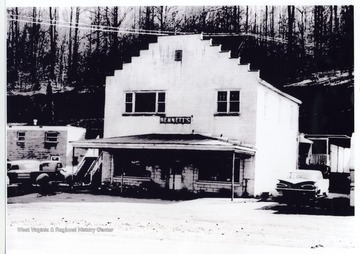
IDNO:
031287
Title:
Bennett's, Bridgeport, W. Va.
Date:
1962
Description:
The view of Bennett's on Rt. 50 West in Bridgeport, W. Va.
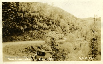
IDNO:
033500
Title:
Road Scene on Route 50, Ervin Mountain
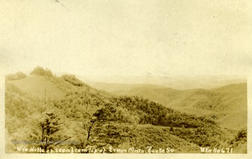
IDNO:
033501
Title:
View of West Virginia Hills from Route 50
Description:
The view is from Ervin Mountain, Route 50.
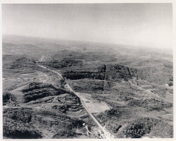
IDNO:
033921
Title:
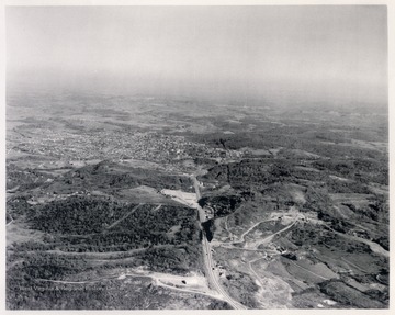
Aerial View of Route 50 Looking West Towards Clarksburg, W. Va.
Date:
ca. 1970
Description:
View looking down on Route 50 between Clarksburg (barely visible at the top of the photograph) and Bridgeport prior to the construction of Interstate 79. Baltimore and Ohio Railroad line visible on the right portion running parallel to Route 50. Currently, Interstate 79 intersects Route 50 near the center of the photograph.
IDNO:
033922
Title:
Aerial View of Route 50 Looking East Towards Bridgeport, W. Va.
Date:
ca. 1970
Description:
View prior to construction of Interstate 79 which now runs in the area at the bottom of this photograph.
IDNO:
038645
Title:
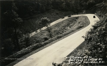
U Curve on U.S. Route 50, East Foot of Laurel Mountain, Preston County, W. Va.
Date:
ca. 1920
Description:
Curve located on Route 50 three miles west of Macomber in Preston County, West Virginia. The image is a post card photograph print.
IDNO:
051166
Title:
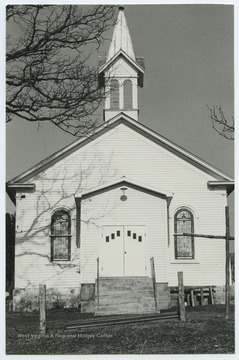
Evansville Methodist Church, Evansville, Preston County, W. Va.
Date:
undated
Description:
The church was established in 1850 and is located off of West Virginia Route 50.
IDNO:
051899
Title:
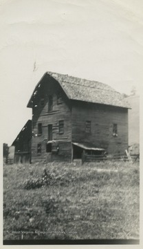
Old Poulson Mill, York's Run, W. Va.
Date:
undated
Description:
The mill is located about 10 miles from Route 50.
IDNO:
053418
Title:
Covered Bridge Over Cheat River, Route 50, W. Va.
Date:
undated
Description:
Text on back reads, "Caption 'Actual photograph, hand painted with finest (?) oils' on original frame."
