Search Results
IDNO:
026361
Title:
New River Near Junta, W. Va.
Date:
1932
Description:
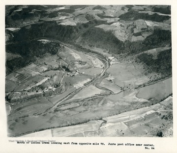
'Mouth of Indian Creek looking east from opposite mile 78. Junta post office near center.'
IDNO:
026362
Title:
New River at Indian Creek in West Virginia
Date:
1932
Description:
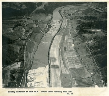
'Looking southeast at mile 76.8. Indian Creek entering from left.'
IDNO:
026363
Title:
New River Near Crumps Bottom, W. Va.
Date:
1932
Description:
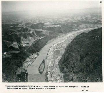
'Looking east southeast at mile 74.3. Crumps Bottom in center and foreground. Mouth of Indian Creek at right; Peters Mountain in distance.'
IDNO:
026364
Title:
New River Near Crumps Bottom, W. Va.
Date:
1932
Description:
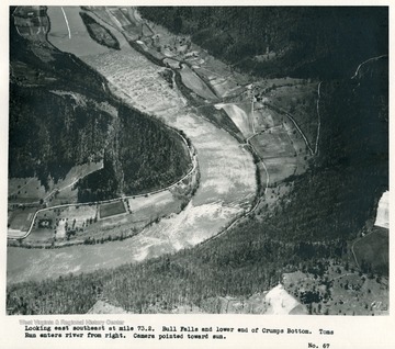
'Looking east southeast at mile 73.2. Bull Falls and lower end of Crumps Bottom. Toms Run enters river from right. Camera pointed toward sun.'
IDNO:
026365
Title:
New River
Date:
1932
Description:
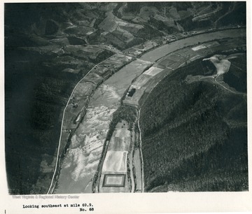
'Looking southeast at mile 69.9.'
IDNO:
026366
Title:
New River Near Bluestone River, W. Va.
Date:
1932
Description:
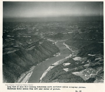
'Long view at mile 69.9 looking downstream north northwest across Allegheny plateau. Bluestone River enters from left near center of picture.'
IDNO:
026367
Title:
New River Near Wolf Creek Mountain, West Virginia
Date:
1932
Description:
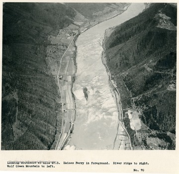
'Looking southeast at mile 67.5. Haines Ferry in foreground. River ridge to right. Wolf Creek Mountain to left.'
IDNO:
026368
Title:
New River Near Greenbrier River, W. Va.
Date:
1932
Description:
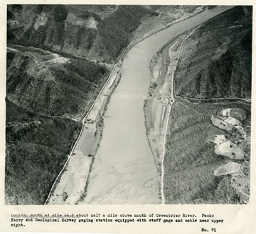
'Looking south at mile 64.6 about half a mile above mouth of Greenbrier River. Packs Ferry and Geological Survey gaging station equipped with staff gage and cable near upper right.'
IDNO:
026369
Title:
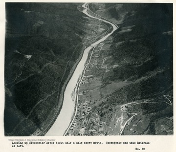
New River Near Greenbrier River in West Virginia
Date:
1932
Description:
'Looking up Greenbrier River about half a mile above mouth. Chesapeake and Ohio Railroad at left.'
IDNO:
026370
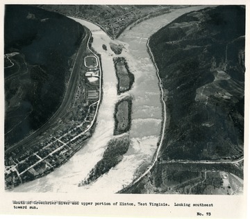
Title:
New River Near Hinton, West Virginia
Date:
1932
Description:
'Mouth of Greenbrier River and upper portion of Hinton, West Virginia. Looking southeast toward sun.'
IDNO:
026371
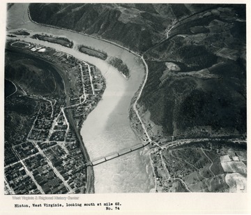
Title:
New River Near Hinton, W. Va.
Date:
1932
Description:
'Hinton, West Virginia, looking south at mile 62.'
IDNO:
026372
Title:
New River Near Hinton, W. Va.
Date:
1932
Description:
'Hinton, West Virginia, looking south southwest.'
