Search Results

- IDNO:
- 048317
- Title:
- View of the Greenbrier River Winding Through Greenbrier River Valley near Lowell, W. Va.
- Date:
- ca. 1950
- IDNO:
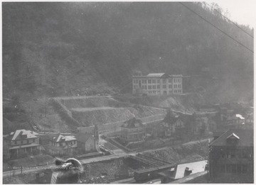
- 048355
- Title:
- Section of Town in Welch, W. Va.
- Date:
- ca. 1910
- Description:
- A high school is pictured on the hill overlooking the rest of town. A Presbyterian church is pictured on the corner of a row of homes. N. & W. Railroad Station is pictured in the lower section.
- IDNO:
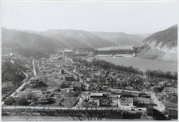
- 048384
- Title:
- Overlooking the Town of Bellepoint, W. Va.
- Date:
- ca. 1950
- Description:
- Aerial view of the town. Bluetone River and dam pictured to the right.
- IDNO:
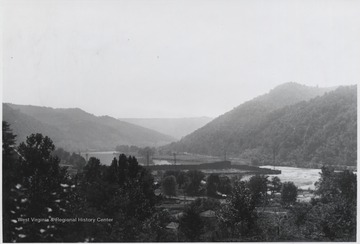
- 048392
- Title:
- View of Bluestone River Running through Dam, Summers County, W. Va.
- Date:
- ca. 1940
- Description:
- The waters flow through the Bluestone Dam.
- IDNO:
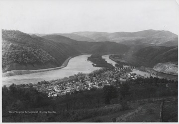
- 048409
- Title:
- Aerial View of Bellepoint, W. Va.
- Date:
- ca. 1950
- Description:
- View overlooking the town and Bluestone River.
- IDNO:
- 048417
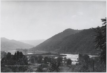
- Title:
- View Overlooking Bluestone River and Dam Construction, Summers County, W. Va.
- Date:
- ca. 1940
- Description:
- The river and dam construction seen in the distance.
- IDNO:
- 048438
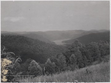
- Title:
- Bluestone Park from Sand Knob, Summers County, W. Va.
- Date:
- ca. 1955
- Description:
- Overlooking the mountains that border the Bluestone River.
- IDNO:
- 048445
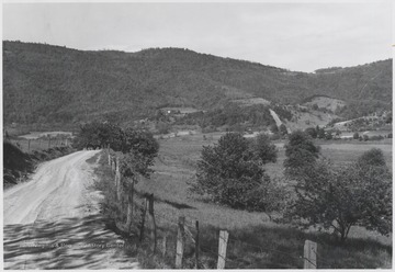
- Title:
- Low Gap Church on Ridge near Bluestone Reservoir, Summers County, W. Va.
- Date:
- undated
- Description:
- Church pictured in the distance. The area pictured is about one mile south of Bluestone River Dam.
- IDNO:
- 048446
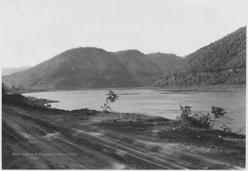
- Title:
- New River Road Running Alongside Bluestone Reservoir, Summers County, W. Va.
- Date:
- ca. 1950
- Description:
- Looking at the lake from the dirt road.
- IDNO:
- 048454
- Title:
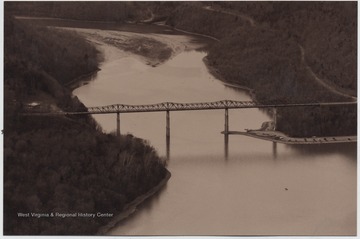
- View Looking Up Bluestone River, Summers County, W. Va.
- Date:
- 2002
- Description:
- Lilly Bridge, formerly known as Bluestone High Bridge, is pictured spanning across the mouth of the river.
- IDNO:
- 048508
- Title:
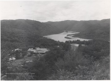
- Bluestone Conference Center at Bertha Bluestone Reservoir, Summers County, W. Va.
- Date:
- Keller, Robert R.
- Description:
- A congregation of buildings are pictured to the left of the body of water.
- IDNO:
- 048509
- Title:
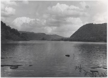
- Bull Falls, Summers County, W. Va.
- Date:
- ca. 1948
- Description:
- View from the banks of New River overlooking the body of water.


