Search Results
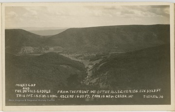
- IDNO:
- 053757
- Title:
- Mike's Gap and the Devil's Saddle, Allegheny Mountains, W. Va.
- Date:
- undated
- Description:
- The caption reads, "Mike's Gap and the Devil's Saddle. From the front mt. of the Alleghenies. Elv. 2725 ft. This mt. is 5 miles long. Ascend 1600 ft. This is New Creek Mt."

- IDNO:
- 053758
- Title:
- Allegheny Mountains, W. Va.
- Date:
- undated

- IDNO:
- 053759
- Title:
- Maysville Gap, near Petersburg, W. Va.
- Date:
- undated
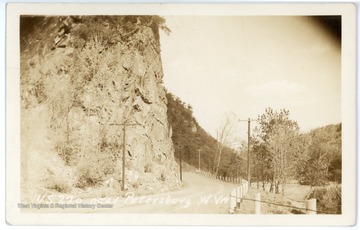
- IDNO:
- 053760
- Title:
- U. S. 220 near Petersburg, W. Va.
- Date:
- ca. 1943
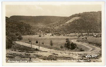
- IDNO:
- 053761
- Title:
- Horseshoe Curve on Scherr Mountain, Grant County, W. Va.
- Date:
- undated
- Description:
- Greenland Gap in the middle distance.
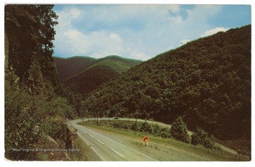
- IDNO:
- 053762
- Title:
- U. S. 33 Between Mouth of Seneca and Harman, W. Va.
- Date:
- undated

- IDNO:
- 053763
- Title:
- Big Curve between Harman and Onego, W. Va.
- Date:
- undated
- IDNO:
- 053764
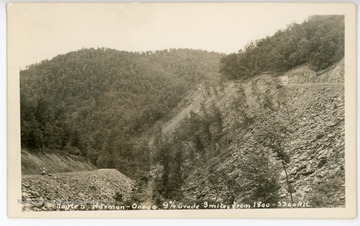
- Title:
- Route 5 between Harman and Onego, W. Va.
- Date:
- undated
- Description:
- The caption reads, "Route 5, Harman - Onego, 9% grade 3 miles from 1800 - 3300 alt."
- IDNO:
- 053765
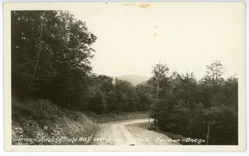
- Title:
- Green Knob seen from Route 5, Harman - Onego, W. Va.
- Date:
- undated
- Description:
- Green Knob altitude is 4710 ft.

- IDNO:
- 053766
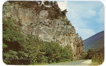
- Title:
- Hanging Rocks, near Cabins, W. Va.
- Date:
- undated
- IDNO:
- 053767
- Title:
- Wildcat Rock, W. Va.
- Date:
- undated

- IDNO:
- 053768
- Title:
- Eagle Rocks, near Petersburg, W. Va.
- Date:
- undated
- Description:
- Eagle Rocks is located 1/4 mile from Petersburg, W. Va., on Route 28.


