Search Results
IDNO:
000816
Title:
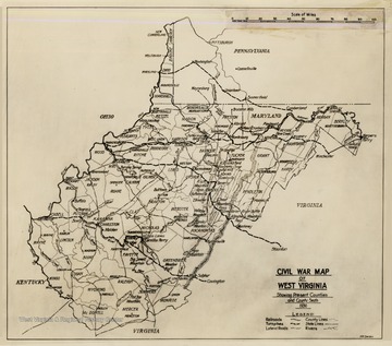
Civil War Map of West Virginia
Date:
1936
Description:
Civil War Map of West Virginia. Showing present counties and county seats 1936. Includes railroads, turnpikes, lateral roads, county lines, states lines, and rivers.
IDNO:
009243
Title:
Doddridge Home, Morgantown, W. Va.
Date:
1911
Description:
'An important landmark that has been carelessly permitted to perish.
IDNO:
015114
Title:
Parsons Pulp and Paper Mill, Davis, Tucker County, W. Va.
IDNO:
025732
Title:
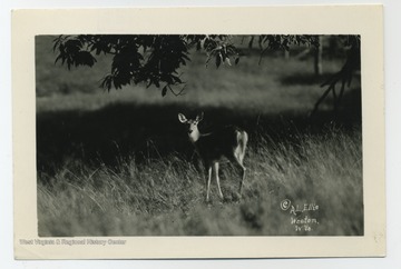
Deer in Field
Date:
1931
Description:
W.V.U. Faculty Reprints (Ambler, Charles).
IDNO:
025734
Title:
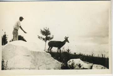
Man Trying to Feed 'Denny' the Deer at the State Game Farm, French Creek, Upshur County, W. Va.
Description:
WVU Faculty Reprints, Charles Ambler.
IDNO:
025738
Title:
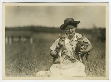
Woman Holding Fawns at State Game Farm, Upshur County, W.Va.
Description:
Game Farm - State Conservation Commission.


