Search Results

- IDNO:
- 028389
- Title:
- On Shaffer's Mountain, Allegheny in the Distance
- Date:
- 1884/07/16
- Description:
- '51.W.23; Wed., July 16 after 6 P.M.' A landscape of a mountain range and a country road, with a carriage in the distance.
- IDNO:
- 028390
- Title:
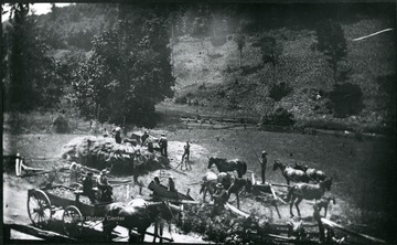
- Threshing Wheat near Troy, Gilmer County, W. Va.
- Date:
- 1884/07/09
- Description:
- A picture of farm workers in a field. 'Team of 10 men, 6 horses, and colt. 1/2 mile out of Troy, Gilmer County.; No. 27 D(15); July 9, Wed. 11:05 am, clear'
- IDNO:
- 028391
- Title:
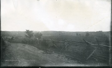
- Cedar Creek Battlefield, View of Slope Occupied by Crooks Camp
- Date:
- 1884/07/30
- Description:
- '93 D(58); July 30, 1884, Wednesday 8:45 am. About a mile down the valley from Cupp's Hill; Looking about East...Shows the series of low hills occupied by the camps of Crook's army corp which is on the other or Eastern side of Cedar Creek, up behind which the Confederate columns marched in their surprise of the Union.'
- IDNO:
- 028392
- Title:
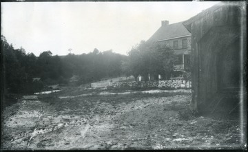
- Stone House Near Tumbling Run
- Date:
- 1884/07/29
- Description:
- 'The entire house is only a few yards from the great bridge and is on the right of the pike as one comes from Strasburg, up the valley. The road on the left becomes Tumbling Run and then crosses the opposite bank.; 90.D(56); July 29, 1884, Tuesday 2:15 pm'
- IDNO:
- 028393
- Title:
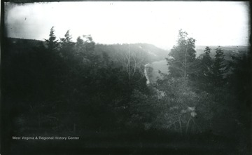
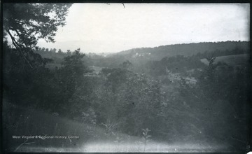
- Battlefield of Fisher Hill from Wharton's Position (Confederate) Commanding Pike
- Date:
- 1884/07/28
- Description:
- '89.D.(55); July 28, 1884 Monday 5:35 pm; Dark, misting; On extreme right is mill(?) at edge of Strasburg. The field of corn is on the flat land of the river a little way to the right. The valley pike was commanded for a mile by the Confed. battery of Wharton stationed right where the camera stands. Sheridan's army turned off the pike onto the higher land west; (left in the view). The valley of Tumbling Run is hidden by the trees of the foreground, likewise the stone house by the bridge.'
- IDNO:
- 028394
- Title:
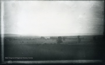
- Fisher Hill Battlefield Looking Up Valley of Tumbling Run, Westerly
- Date:
- 1884/07/28
- Description:
- '88.D.(54); July 28, 1884, Monday 5.30 pm; Misty and very dark; The right of the picture is ground occupied by Sheridan. The left by Confed. army. The R.R. embankment can be detected running left to right just in front of the houses. The Mts. in the distance are those along which the flank movement of Gen. Crook was made, by which about 4 p.m. he came upon the left rear of the Confed. over beyond the R.R. On the left in mid-distance is the field occupied by Gordon which No's 85, 86 were taken.'
- IDNO:
- 028395
- Title:
- Cedar Creek Battlefield Belle Grove House Viewed from Pike
- Date:
- 1884/07/30
- Description:
- 'Sheridan's headquarters, occupied in his absence by Gen. Emery and other officers in command. It is off to the West of the pike and in rear of formation of the 19th corps. The distant hill of No. 97 on the left. Our troops were driven across the field from the left towards the right; nearly parallel with the pike. 99.D.(61); July 30, 1884, Wednesday 12:15 clear'
- IDNO:
- 028396
- Title:
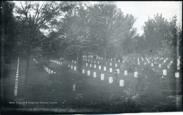
- National Cemetery at Winchester
- Date:
- 1884/07/31
- Description:
- 'Looking S.W. My view is taken from near the entrance gate. In the foreground are the tops of he flowers of the beds kept by the wife of the officer in charge. The lodge is just out of sight on my left. Everything is kept in the neatest order, the turf close cut and very thick and green. On various mounds are placed cannon as monuments like the one on the right. There are 4430 soldiers buried here. In the center of the cemetery stands a fine "soldiers monument." The Conf. cemetery lies next to this one with only a lane between. A wall of dressed stone surrounds the cemetery concealed on the inside by a thick hedge. 105.D.(63); July 31, 1884, Thursday 11:45 am, cloudy'
- IDNO:
- 028397
- Title:
- Cemetery Ridge, West of Middletown
- Date:
- 1884/07/30
- Description:
- 'End of Sheridan's famous ride to battlefield of Cedar Creek looking North. The ridge on the left where the whole fenced cemetery stand was held for a while by our troops and then they were forced back parallel with the pike beyond Middletown, a few houses of which are seen on the right. At the first of them, on the right of the pike. Walter drew water from a well out in the field for the team. (62)D.101; July 30, 1884, Wednesday 12:45 pm'
- IDNO:
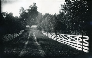
- 028398
- Title:
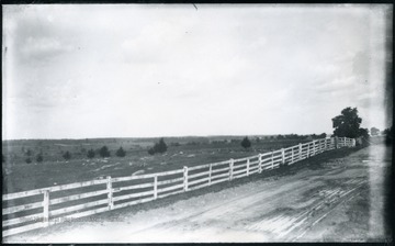
- Road Leading to Pry House, McClellan's Headquarters During Battle at Antietam
- Date:
- 1884/08/06
- Description:
- A photograph of a fence-lined road leading up to a house. '167.W.(70); August 6, 1884, Wednesday 5 pm'
- IDNO:
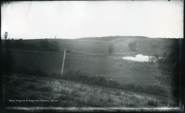
- 028400
- Title:
- Pond on Winchester Battlefield
- Date:
- 1884/07/31
- Description:
- 'Looking N. from a little sandy hill on right of pike and nearly alongside Dinkler's farm house seen in No 113. The place of the pike is shown by the telegraph wires through the road itself is low and hidden by the fringes of bushes. 110.D.66 I.C.; July 31, 1884, Thursday 3:50 pm, dark, cloudy'
- IDNO:
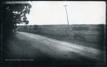
- 028413
- Title:
- Battlefield of Winchester, Third Position of Union Army
- Date:
- 1884/07/31
- Description:
- 'Looking towards the Blue Ridge, the eastern wall of "the Valley." The line of the range of Mts. can be scarcely distinguished in the photograph, though the blue line was very easily seen by us when on the spot. Two noted passes on gaps were in sight. Ashby's gap on the extreme right and "Snickers gap" on the extreme left. Under the trees on the left we sat after dinner and read our letters which were received at Winchester. 108.D(65); July 31, 1884, Thursday 1-15 pm. hazy'


