Search Results
IDNO:
028174
Title:
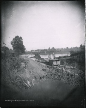
View Up Ohio River from Railroad Bridge at Mile Run Road
Date:
1899/09/16
Description:
Saturday 3 p.m.
IDNO:
006548
Title:
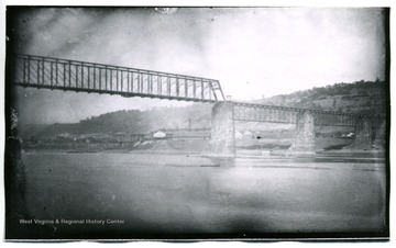
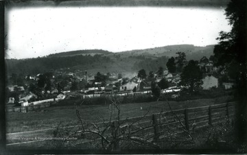
Railroad Bridge at Harpers Ferry, W. Va.
Date:
1884/09/02
Description:
View of Harpers Ferry from atop a hill.
IDNO:
028446
Title:
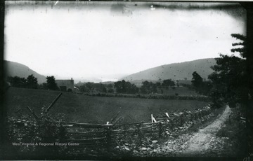
Pleasant Valley
Date:
1884/08/21
Description:
139. W. (59) August 4, 1884. Monday, 9:00 a.m.
IDNO:
032004
Title:
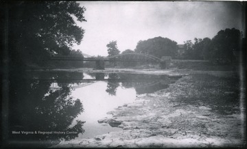
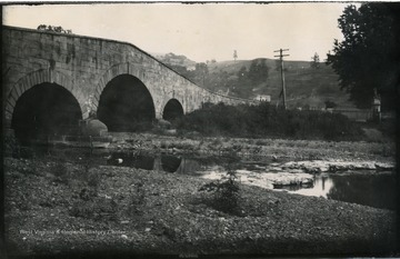
Bridge at Bellaire
Date:
1884/08/19
Description:
The photo was taken on Friday at 3:50 p.m.; 230.D (133).
IDNO:
028022
Title:
Iron Bridge near Wheeling, W. Va.
Date:
1884/08/18
Description:
Gen. no. 223, neg. by D, No. 129. Monday 3:45 P.M.
IDNO:
028024
Title:
Bridge in Outskirts of Wheeling, W. Va.
Date:
1884/08/18
Description:
Gen. no. 222, neg. by W, No. 95. Monday 5 P.M.
IDNO:
028088
Title:
View From Wheeling Embankment
Date:
1884/08/18
Description:
Gen. no. 225, neg. by D, No. 130. Date 1884, August 18. 5:25 P.M.
IDNO:
028170
Title:
View South from Wheeling Embankment
Date:
1884/08/18
Description:
Gen. no. 226, neg. by W, No. 97. Date 1884, August 18. Monday 5:30 P.M.
IDNO:
028087
Title:
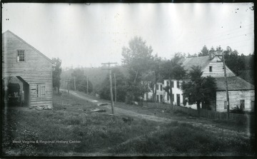
Looking up Chestnut Hill Road
Date:
1884/08/15
Description:
Gen. no. 211, neg. by W, No. 90. Date 1884, August 15. 3:40 P.M.
IDNO:
028032
Title:
Camp on the Edge of Swamp on Summit of Allegheny Mountains
Date:
1884/08/14
Description:
'207.D.(120); August 14, 1884, Thursday 7:20 am'
IDNO:
028033
Title:
Betty at Breakfast; Camp on Allegheny Mountain
Date:
1884/08/14
Description:
'208.D.(121); August 14, 1884, Thursday 7:30 am'
IDNO:
028031
Title:
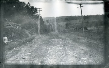
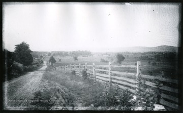
Rough Country Road
Date:
1884/08/13
Description:
'206.W.(88); August 13, 1884, Wednesday 3:40 pm'
IDNO:
031703
Title:
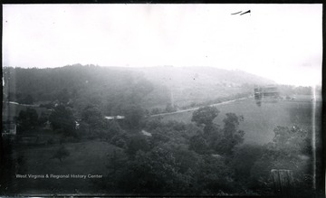
Eckert's Mine Valley, Maryland
Date:
1884/08/13
Description:
A view of Eckert's Mine Valley from hill west; the photo taken on Wednesday at 10 am; 208.W.87.
IDNO:
031607
Title:
View of Cumberland from the Noon Camp
Date:
1884/08/12
Description:
A view of Cumberland from the noon camp; the photo was taken about noon. 200.w.(85)
IDNO:
028007
Title:
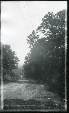
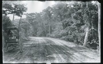
Shaded Country Road
Date:
1884/08/11
Description:
'193. D (114); August 11, 1884, Monday 10-15 am.'
IDNO:
028010
Title:
Old Ruin Near Town Ridge
Date:
1884/08/11
Description:
'191. D 113.; August 11, 1884, Monday 9:20 am.'
IDNO:
028011
Title:
Hill From West Side of Town Hill
Date:
1884/08/11
Description:
'W 79. B.; August 11, 1884, Monday 8:40 am.'
IDNO:
028020
Title:
Bevansville Looking Back After Passing From Ascent of Next Hill
Date:
1884/08/11
Description:
'192.W80.B.; August 11, 1884, Monday 9:40 am'
IDNO:
028021
Title:
Noon Rest Looking Onward West on Ascent of Green Ridge
Date:
1884/08/11
Description:
'195 W82B; August 11, 1884, Monday 1:30 p.m.'
IDNO:
028023
Title:
Flintstone Looking West
Date:
1884/08/11
Description:
'197.W.83.B.; Looking West from hill side near where a spring is on the under side of rock. Used by village people so generally; August 11, 1884, Monday 3:40 pm'
IDNO:
028169
Title:
Valley of Flintstone Looking Back
Date:
1884/08/11
Description:
Gen. no. 199, neg. by D, No. 116. Plate maker I.C., Date 1884, August 11. Monday 4:45 P.M.
IDNO:
031714
Title:
Gilpintown Tannery, Maryland
Date:
1884/08/11
Description:
A view of Gilpintown Tannery; the photo taken at 2:40 pm; 196.115.D.
IDNO:
028012
Title:
Old Bell Stand
Date:
1884/08/10
Description:
'189.D. (112); August 10, 1884, Sunday 4:15 pm.'
IDNO:
031699
Title:
Tonoloway Creek, Maryland
Date:
1884/08/09
Description:
A view of Tonoloway Creek before Hancock; the photo taken on Saturday at 9:10 am; 186.D.110.
IDNO:
028013
Title:
View Easterly From Wheeling Embankment
Date:
1884/08/08
Description:
'224.W. (76); August 8, 1884, Monday 5:15 pm'
IDNO:
028017
Title:
View Up Licking Creek From Bridge
Date:
1884/08/08
Description:
'W(76) B. 182.; August 8, 1884, Friday 5 pm'
IDNO:
028080
Title:
View from Fairview House
Date:
1884/08/08
Description:
'178.D.(105); August 8, 1884, Friday 11:45 smoky'
IDNO:
028079
Title:
Clear Spring
Date:
1884/08/08
Description:
'W.(74)B.177; Clear Spring. before we reached it; August 8, 1884, Friday 10:20 am'
IDNO:
028086
Title:
Dinner on Rocks
Date:
1884/08/08
Description:
'181.D.(107); August 8, 1884, Friday 1-35 pm; Dinner on rocks. 2nd Negative'
IDNO:
028091
Title:
Dinner Group on Rocky Knoll
Date:
1884/08/08
Description:
Gen. no. 180, neg. by D, No. 106. Date August 8, 1884. Friday 1:30 P.M. Sunshine.
IDNO:
028431
Title:
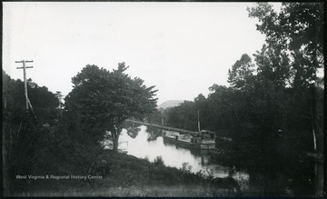
View of Canal Boat Moving East
Date:
1884/08/08
Description:
A photograph of a boat floating down a canal. '184.D(109); Aug. 8, Fri. 5:35 p.m.'
IDNO:
028434
Title:
Toll Gate and Bridge Over Licking Creek, Maryland and Looking East
Date:
1884/08/08
Description:
A photograph of a country road with two small buildings standing on either side. '108 D.; Friday Aug. 8, 1884, 5 p.m.'
IDNO:
028441
Title:
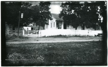
Fairview House
Date:
1884/08/08
Description:
(75) W. B. 179. August 8, 1884; Friday 1:40 p.m.
IDNO:
028440
Title:
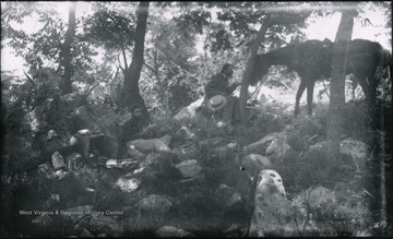
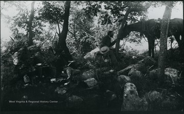
Camp Dinner in the Woods
Date:
1884/08/08
Description:
A photograph of a group of people eating a meal on rocks in a wooded area with a horse in the background. '181.D(107); Aug. 8 Fri. 1:35 pm'
IDNO:
031722
Title:
Antietam Cemetery, Maryland
Date:
1884/08/07
Description:
A view of Antietam: South East from National Cemetery towards Burnside Bridge; the photo taken on Tuesday at 5:45 pm; 154.D.90.I.C.
IDNO:
028081
Title:
Keedysville from Pike Near Pry's House, Washington County, Md.
Date:
1884/08/06
Description:
Part of the 1862 Antietam Battlefield near Sharpsburg'168(98)D I.C. 168; August 6, 1884, Wednesday 5:10 pm'
IDNO:
028398
Title:
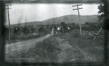
Road Leading to Pry House, McClellan's Headquarters During Battle at Antietam
Date:
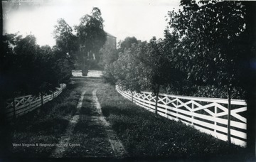
1884/08/06
Description:
A photograph of a fence-lined road leading up to a house. '167.W.(70); August 6, 1884, Wednesday 5 pm'
IDNO:
031700
Title:
View of Antietam From Pry House, Washington County, Maryland
Date:
1884/08/06
Description:
A view of Antietam from Pry House, McClellan's headquarters; monuments in cemetery can be seen with magnifier on left horizon; the photo taken on Wednesday at 4:40 pm.
IDNO:
031608
Title:
View of Bloody Lane, Antietam, Md.
Date:
1884/08/06
Description:
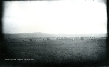
A view of Antietam, Bloody Lane looking south east from the first corner near, likely to be, the Cupp house. 99.D.I.C.
IDNO:
031609
Title:
View of Antietam, Md.
Date:
1884/08/06
Description:
A view of Antietam from Benjamin's battery; the photo was taken about 12:45 p.m. 164 W (68).
IDNO:
031689
Title:
View of Antietam, Burnsides Stone Bridge, Maryland
Date:
1884/08/06
Description:
A view of Antietam Burnsides stone bridge from the west side looking South East; the photo was taken Wednesday 9:10 am. 94 D. I. C., 155.
IDNO:
031692
Title:
View on Confederate Side Near Burnside Bridge, Maryland
Date:
1884/08/06
Description:
A view on Confederate side near Burnside Bridge; the photo taken at 9:20 am. 159 w65.
IDNO:
031694
Title:
View of Antietam, Dunker Church, Maryland
Date:
1884/08/06
Description:
A view of Antietam, Dunker Church looking from south east. The photo was taken on Wednesday at 7:30 pm. 100 D.I.C, 171.
IDNO:
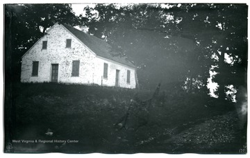
031695
Title:
Dunker Church,, Maryland
Date:
1884/08/06
Description:
A view of Dunker Church; the photo taken on Wednesday at 7:30 pm; 170.W.71.
IDNO:
031697
Title:
View from Dunker Church, Maryland
Date:
1884/08/06
Description:
A view from Dunker Church looking eastward; the photo taken on Wednesday, 7:45 pm; 172.D.101.
IDNO:
031710
Title:
View of Antietam From Pry House, Washington County, Maryland
Date:
1884/08/06
Description:
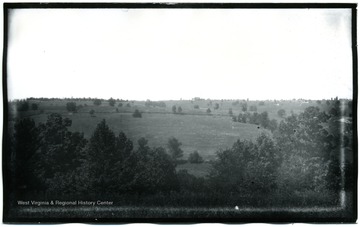
A view of Antietam Battlefield from Pry House (McClellan's headquarters) looking between East and West woods; the photograph taken on Wednesday at 4:48 pm; 97.D.I.C.166.
IDNO:
031711
Title:
Antietam, Sinken Creek, Maryland
Date:
1884/08/06
Description:
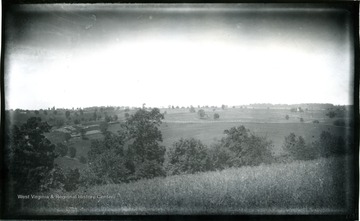
A view of Antietam, Sinken Creek from Benjamin Battery on Union side of Antietam Creek; the photo taken on Wednesday at 12:45 pm; 96.D.I.C.163.
IDNO:
031719
Title:
View of Antietam, Dunker Church, Maryland
Date:
1884/08/06
Description:
The view of Antietam, Dunker Church with East and West Woods from Benjamin Battery; the photo taken on Wednesday at 12:40 pm; 95.D.I.C.162.
