Search Results

- IDNO:
- 006613
- Title:
- Hill Top House by Moonlight From C. & O. Canal, Harpers Ferry, W. Va.

- IDNO:
- 006614
- Title:
- Hill Top House by Moonlight From C. & O. Canal, Harpers Ferry, W. Va.
- IDNO:
- 013070
- Title:
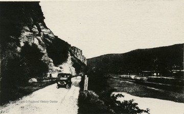
- View of Chesapeake & Ohio Canal Towards Harpers Ferry, W. Va.
- Description:
- View looking down Harpers Ferry Road in Maryland, along the canal and the Potomac River. Harpers Ferry and Loudon Heights are seen in the background.
- IDNO:
- 013071
- Title:
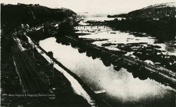
- Chesapeake and Ohio Canal and Potomac River, Jefferson County, W. Va.
- IDNO:
- 013111
- Title:
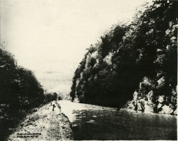
- Chesapeake and Ohio Canal Across Potomac River from Shepherdstown, W. Va.
- Description:
- An unidentified individual stands next to a full flowing C&O Canal in Maryland, across from Shepherdstown, West Virginia.

- IDNO:
- 013221
- Title:
- Chesapeake and Ohio Canal Near Shepherdstown W. Va.
- Description:
- Old C&O Canal, and in the background the old Knode home, practically destroyed by the flood of 1936.

- IDNO:
- 032018
- Title:
- Mules Pulling a Boat On the C. & O. Canal, Hancock, Md.
- Date:
- 1907
- Description:
- 'This Canal goes from Cumberland, Md. to Hancock, Md. and taken by John Jacob on his wedding trip.'
- IDNO:
- 032019
- Title:
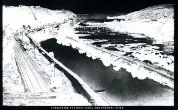
- Chesapeake and Ohio Canal and Potomac River
- Description:
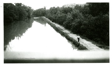
- A view of the Canal in monochrome negative.
- IDNO:
- 032020
- Title:
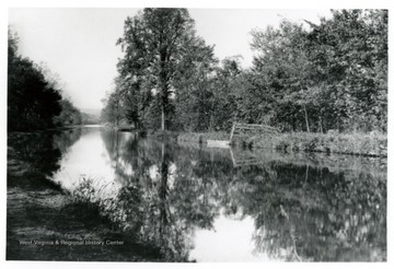
- C. and O. Canal
- IDNO:
- 032021
- Title:
- View of the C. & O. Canal and the Potomac River

- IDNO:
- 032022
- Title:
- View of the C. & O. Canal and the Potomac River

- IDNO:
- 032023
- Title:
- From the Chesapeake to the Ohio, B. & O. R. R. Scenery
- Description:
- A view of B. & O. R.R. scenery in stereoscopic images.