Search Constraints

You searched for: Acquisition Source Wolf's Head Books Remove constraint Acquisition Source: Wolf's Head Books Project sim wvcp Remove constraint Project sim: wvcp
Number of results to display per page

Search Results

'Looking southwest at mile 168.4 about a mile below Allisonia; ferry just below town; camera pointed toward sun.'
'Looking west southwest; foreground at mile 161.3 about a mile below Macks Creek which enters from left in middle ground; Owens ferry at mouth of Creek.  Pictures 30 to 37 show lands within backwater of project no. 739 of the Appalachian Electric Power Company; Nos. 28 to 40 are located on "General Map of Project" (F.P.C. No. 739-9).'
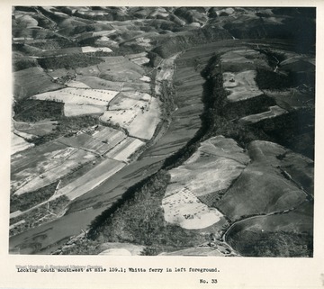
'Looking south southwest at mile 159.1; Whitts ferry in left foreground.'
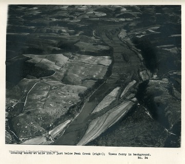
'Looking south at mile 155.7 just below Peak Creek (right); Towes ferry in background.'
'Looking downstream; foreground at mile 157.7; shows about same stretch of river as No. 34, but in opposite direction.'
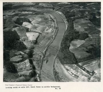
'Looking north at mile 153; Cecil ferry in middle background.'
'Looking southwest at mile 151 about a mile and a half above Radford dam site.'
'Looking across New River at mile 149 and up Little River.  Dam site of Appalachian Electric Power Company near right edge of picture of upstream end of limestone quarry.  road in lower right corner built by company to give access to site.'
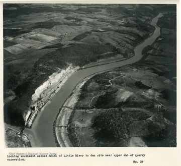
'Looking southwest across mouth of Little River to dam site near upper end of quarry excavation.'
'Looking south at mile 147.4.  Ingles ferry in foreground; quarry above Little River in extreme upper right; dam site just off picture.'
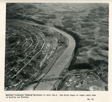
'Radford, Virginia, looking southwest at mile 144.2.  New River depot at right; main line of Norfolk and Western.'
'East Radford, Virginia, division point on the Norfolk and Western; Old Radford and railroad bridge in distance; Highway bridge in middle distance on U.W. Highway No.11.  Gaging station of Geological Survey located at this bridge from 1898 to 1915.  Looking southwest toward sun.'