Search Results

- IDNO:
- 031613
- Title:
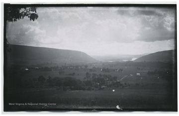
- Valley of Felled Timber
- Date:
- 1884/08/11
- Description:
- Looking westward towards Fifteen Mile Creek, east of Cumberland, MD. (194 W81) included on back.
- IDNO:
- 031614
- Title:
- Potomac River and Pleasant Valley from slope of Maryland Heights
- Description:
- D.81.I.C.140 included on back.
- IDNO:
- 031615
- Title:
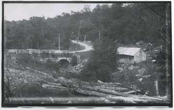
- Stone bridge on west side of Negro Mountain
- Date:
- 1884/08/14
- Description:
- 209 122D. on back of photo.

- IDNO:
- 031616
- Title:
- Old Tavern about nine miles west of Cumberland.
- Date:
- 1884/08/13
- Description:
- 202.W.(86) on back of photo.
- IDNO:
- 031617
- Title:
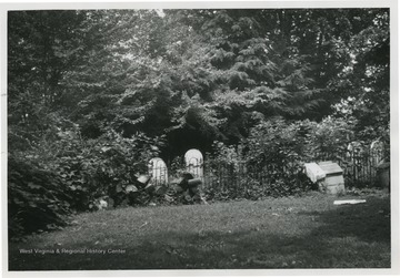
- Deakins Family Cemetery
- Date:
- c.a 1962
- Description:
- 'The Deakins Family Cemetery is unusual in that it is still in current use although surrounded by thousands of suburban Maryland homes.' The name J.C Wilfong Jr. appears on the back of photo.
- IDNO:
- 031618
- Title:
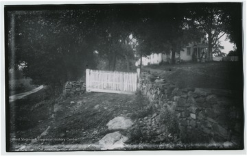
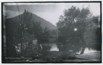
- David Miller's Home on North Edge of Antietam
- Date:
- 1884/08/07
- Description:
- (102.)I.C.173 written on back of photo.
- IDNO:
- 031619
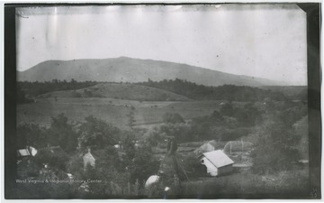
- Title:
- Massanutten Mountain South End near Old Mill
- Date:
- 1884/07/26
- Description:
- 79D.(46) on back of photo.
- IDNO:
- 031620
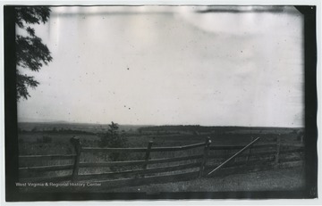
- Title:
- Battle Cedar Creek. Massanutten Mountain
- Date:
- 1884/07/30
- Description:
- Possibly Three Top Mountain and Thoburn's Camp. 95 W (37) included on the back.
- IDNO:
- 031621
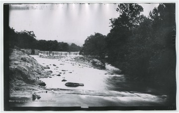
- Title:
- Cedar Creek Woods held by 6th Corp. according to Rebel gunner of Braxton's battery
- Date:
- 1884/07/30
- Description:
- 100 W 39 B on back of photo.
- IDNO:
- 031622
- Title:
- Antietam Falls
- Date:
- 1884/08/05
- Description:
- 150.W.(64) on back of photo.
- IDNO:
- 031623
- Title:
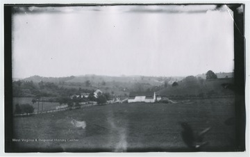
- Valley beyond Hancock looking back toward Hancock.
- Description:
- 187 W 78 .B on back of photo.
- IDNO:
- 031624
- Title:
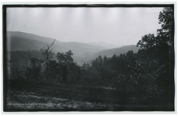
- New Pike Viewed from Old a Few Miles West of Cumberland.
- Date:
- 1884/08/12
- Description:
- 201. D.(117) on back of photo.


