Search Results

- IDNO:
- 023032
- Title:
- Postcard of Elevations Between Grafton and Romney on US Route 50 in W. Va.
- Description:
- Mountains on U.S. 50, also known as Old Northwestern Turn Pike. The postcard has an advertisement for DeLancey's Restaurant in Grafton.

- IDNO:
- 026812
- Title:
- Unidentified Man Standing Atop a Mountain
- IDNO:
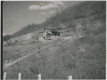
- 047520
- Title:
- House on Chestnut Mountain, Summers County, W. Va.
- Date:
- ca. 1957-1958
- Description:
- A house is positioned on the slant of the mountain.
- IDNO:
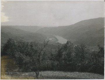
- 047521
- Title:
- Overlooking Barksdale from Chesnut Mountain, Summers County, W. Va.
- Date:
- ca. 1957-1958
- Description:
- View from the side of the mountain overlooks the town and river.
- IDNO:
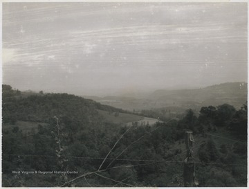
- 047522
- Title:
- Chesnut Mountain, Summers County, W. Va.
- Date:
- ca. 1957-1958
- Description:
- Scene from the mountain.

- IDNO:
- 047881
- Title:
- 'In the Rambler, T.J. Barnard and Family, F.E. Nyswaner and Wife', Pocahontas Co., W. Va.
- Date:
- 1910/11/06
- Description:
- 8 miles in 50 minutes to highest point in Cheat Mountains.
- IDNO:
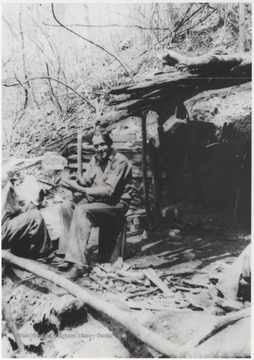
- 049381
- Title:
- Men at Brooks Mountain, Summers County, W. Va.
- Date:
- ca. 1925
- Description:
- Two unidentified men pose as one pours a drink into the others cup.
- IDNO:
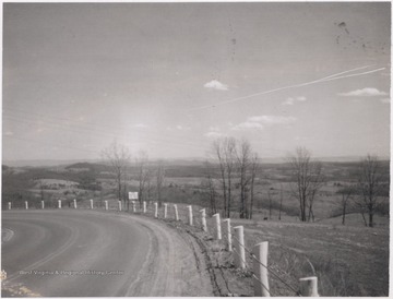
- 049518
- Title:
- Looking East from White Oak Mountain, Summers County, W. Va.
- Date:
- ca. 1958
- Description:
- View looking over the hills and down the road from the mountain.
- IDNO:
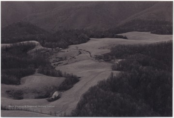
- 049590
- Title:
- Zion Mountain, Summers County, W. Va.
- Date:
- undated
- Description:
- View over what was used as a landing field by Jim Ballis.

- IDNO:
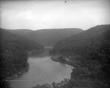
- 050297
- Title:
- View of Cheat River, W. Va.
- Date:
- ca. 1890-1920
- IDNO:
- 050298
- Title:
- View of Cheat River, W. Va.
- Date:
- ca. 1890-1920

- IDNO:
- 050299
- Title:
- View of Monongahela River, W. Va.
- Date:
- ca. 1890-1920