Search Constraints
Search Results
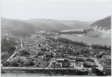
- IDNO:
- 048384
- Title:
- Overlooking the Town of Bellepoint, W. Va.
- Date:
- ca. 1950
- Description:
- Aerial view of the town. Bluetone River and dam pictured to the right.
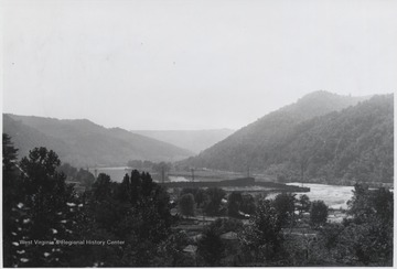
- IDNO:
- 048392
- Title:
- View of Bluestone River Running through Dam, Summers County, W. Va.
- Date:
- ca. 1940
- Description:
- The waters flow through the Bluestone Dam.
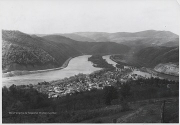
- IDNO:
- 048409
- Title:
- Aerial View of Bellepoint, W. Va.
- Date:
- ca. 1950
- Description:
- View overlooking the town and Bluestone River.
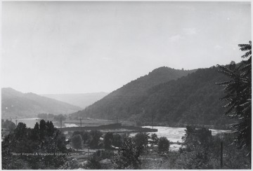
- IDNO:
- 048417
- Title:
- View Overlooking Bluestone River and Dam Construction, Summers County, W. Va.
- Date:
- ca. 1940
- Description:
- The river and dam construction seen in the distance.
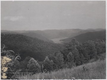
- IDNO:
- 048438
- Title:
- Bluestone Park from Sand Knob, Summers County, W. Va.
- Date:
- ca. 1955
- Description:
- Overlooking the mountains that border the Bluestone River.
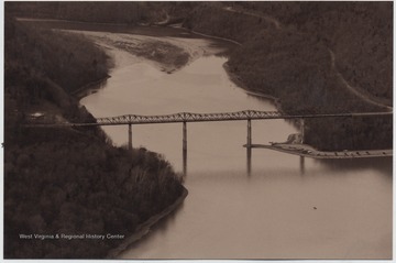
- IDNO:
- 048454
- Title:
- View Looking Up Bluestone River, Summers County, W. Va.
- Date:
- 2002
- Description:
- Lilly Bridge, formerly known as Bluestone High Bridge, is pictured spanning across the mouth of the river.
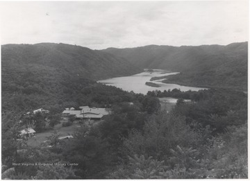
- IDNO:
- 048508
- Title:
- Bluestone Conference Center at Bertha Bluestone Reservoir, Summers County, W. Va.
- Date:
- Keller, Robert R.
- Description:
- A congregation of buildings are pictured to the left of the body of water.

- IDNO:
- 048514
- Title:
- Site of Bluestone Bridge Prior to Construction, Summers County, W. Va.
- Date:
- undated
- Description:
- Looking at the beginning of a reservoir created by the Bluestone Dam. To the right of the area pictured is the mouth of the Bluestone River.
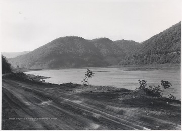
- IDNO:
- 048515
- Title:
- Site of Bluestone Bridge Before its Construction, Summers County, W. Va.
- Date:
- undated
- Description:
- Looking over the reservoir created by Bluestone River Dam from the dirt road.
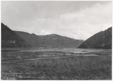
- IDNO:
- 049500
- Title:
- Bluestone Reservoir meets Mouth of Bluestone River, Sumers County, W. Va.
- Date:
- ca. 1930
- Description:
- View of the two converging bodies of water. Here is the future sight of the Bluestone High Bridge.
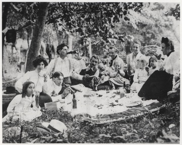
- IDNO:
- 049987
- Title:
- Murrell Family Picnic at Bluestone River Canyon, Summers County, W. Va.
- Date:
- ca. 1900
- Description:
- Robert Murrell pictured third from left beside his wife. Other Murrell family members unidentified.


