Search Constraints
« Previous |
1 - 12 of 13
|
Next »
Search Results
IDNO:
052957
Title:
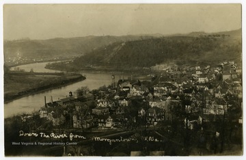
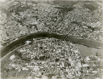
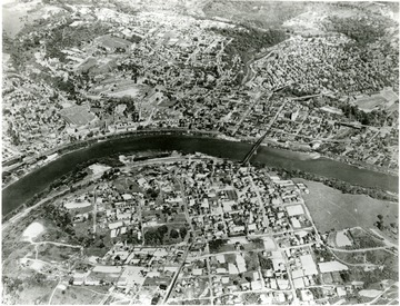
Down the River from Morgantown, W. Va.
Date:
undated
Description:
A bird's eye view of the Seneca and Sunnyside neighborhoods of Morgantown, showing the Falling Run Bridge in the foreground.
IDNO:
011155
Title:
Aerial View of Downtown Campus, West Virginia University
Date:
ca. 1965
IDNO:
022646
Title:
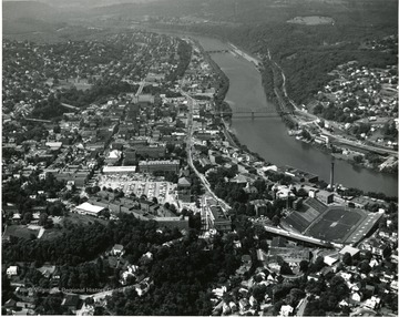
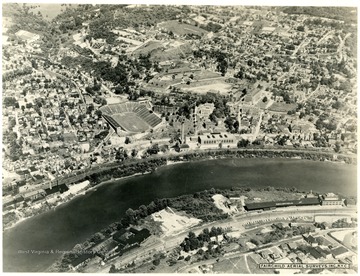
Bird's Eye View of Morgantown, W. Va.
Date:
ca. 1965
Description:
Includes West Virginia University campus, and Mountaineer Field (on left).
IDNO:
011110
Title:
Aerial View of Morgantown, W. Va.
Date:
ca. 1955
IDNO:
011215
Title:
Aerial View of Monongahela River and a Small Portion of Morgantown, W. Va.
Date:
1965
IDNO:
011137
Title:
Aerial View of Downtown Campus, West Virginia University
Date:
1960
Description:
An aerial view of Morgantown and the campus.
IDNO:
052177
Title:
Aerial View of Site of Future Medical Center, Morgantown, W. Va.
Date:
1953
Description:
Future site of West Virginia University Medical Center. The downtown campus is visible at left, above the Monongahela River.
IDNO:
011131
Title:
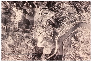
Aerial View of Morgantown, W. Va.
Date:
1931/11
Description:
An aerial view of Morgantown and Westover. Monongahela River running through the middle. Mountaineer Field is to the left.
IDNO:
022508
Title:
Aerial View of Morgantown and West Virginia University
Date:
1931/11
IDNO:
011149
Title:
Aerial View of Morgantown, W. Va.
Date:
1931
Description:
An aerial view of Morgantown. The Monongahela River is running through the center. West Virginia University campus and Mountaineer Field on the left right above the river.
IDNO:
011148
Title:
Aerial View of Morgantown, W. Va.
IDNO:
011209
Title:
Aerial View of Morgantown, W. Va.
