Search Results
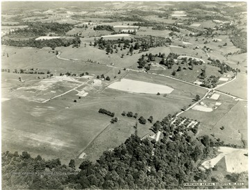
- IDNO:
- 016818
- Title:
- Aerial View of the West Virginia University Animal Husbandry Farm Looking East or Southeast
- Date:
- 1931/11
- Description:
- The road in the upper part of the photo is the Stewartstown Road. The intersection in the middle right side is with the West Run Road.

- IDNO:
- 016849
- Title:
- Aerial View of an Unidentified Area in Monongalia County, W. Va.
- Date:
- 1931/11

- IDNO:
- 050319
- Title:
- Rural Scene at Buzzard's Rock Overlooking the Cheat River, Monongalia County, W. Va.
- Date:
- undated
- Description:
- Two boys are pictured on top of the rock, looking east. Subjects unidentified.
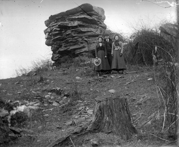
- IDNO:
- 050320
- Title:
- Scene at Dorsey's Knob, Monongalia County, W. Va.
- Date:
- undated
- Description:
- Two women and a man are pictured beside the rock formation, formally known as Dorsey's Knob. Subjects unidentified.
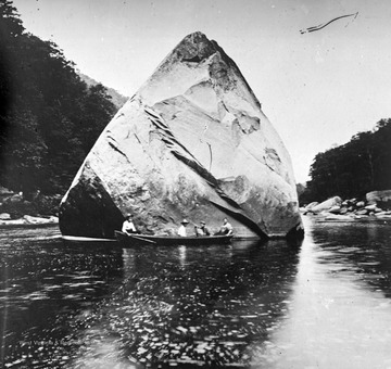
- IDNO:
- 050321
- Title:
- Scene at Squirrel Rock on Cheat River, Monongalia County, W. Va.
- Date:
- undated
- Description:
- Four men sit in a canoe beside the large boulder in the middle of the river. Subjects unidentified.
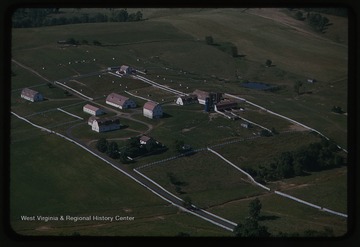
- IDNO:
- 051717
- Title:
- Aerial View of West Virginia University Animal Husbandry Farm, Morgantown, W. Va.
- Date:
- 1952/09/12
- Description:
- Aerial photograph of the university's animal farm.
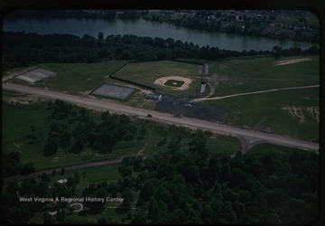
- IDNO:
- 051720
- Title:
- Recreation Development on Evansdale Campus, West Virginia University, Morgantown, W. Va.
- Date:
- 1952/07/24
- Description:
- Aerial view of recreation development on the new WVU campus.

- IDNO:
- 052424
- Title:
- Monongalia County Sesquicentennial Parade, Morgantown, W. Va.
- Date:
- 1926/10/22
- Description:
- A crowd lines each side of High Street as parade floats travel down the street at 10 a.m. The first float visible is shaped like a clothes iron.

- IDNO:
- 052427
- Title:
- High Waters of Monongahela River, Randall, W. Va.
- Date:
- 1936
- Description:
- Cars drive through the flooded roads while people watch from the bridge above.


