Search Results

- IDNO:
- 013596
- Title:
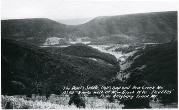
- Aerial View of Devil's Saddle, Dolls Gap and New Creek Mt. U. S. 50, Mineral County, W. Va.
- Date:
- ca. 1920
- Description:
- View of 'The Devil's Saddle, Dolls Gap and New Creek Mt. U. S. 50, 8 miles west of New Creek, W. Va. Elevation 2725' from Alleghany Front Mt.

- IDNO:
- 053542
- Title:
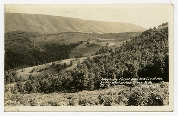
- Allegheny Front and New Creek Mountains, W. Va.
- Date:
- undated
- Description:
- Photograph taken 8 miles west of New Creek, W. Va. on US Route 50. Elevation 2725 feet.

- IDNO:
- 053757
- Title:
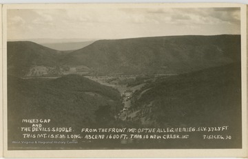
- Mike's Gap and the Devil's Saddle, Allegheny Mountains, W. Va.
- Date:
- undated
- Description:
- The caption reads, "Mike's Gap and the Devil's Saddle. From the front mt. of the Alleghenies. Elv. 2725 ft. This mt. is 5 miles long. Ascend 1600 ft. This is New Creek Mt."