Search Results
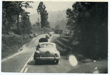
- IDNO:
- 012548
- Title:
- Traffic on U. S. 60 at Gauley Mountain, Fayette County, W. Va.
- Date:
- 1948
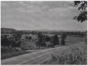
- IDNO:
- 049428
- Title:
- Land Usage in Greenbrier River Valley, Summers County, W. Va.
- Date:
- ca. 1910
- Description:
- Pictured is an area two miles west of Lewisburg, W. Va. along U. S. Route 60. The view is looking northwest from Wilson Hill.
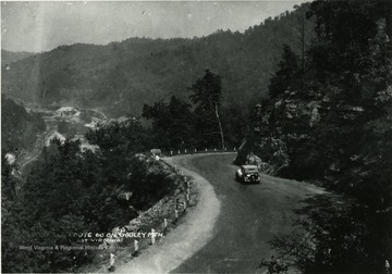
- IDNO:
- 012326
- Title:
- Route 60, Fayette County, W. Va.
- Date:
- ca. 1920
- Description:
- Car driving down Route 60 on Gauley Mountain.

- IDNO:
- 012327
- Title:
- Route 60 on Gauley Mountain, Fayette County, W. Va.
- Date:
- ca. 1920

- IDNO:
- 012300
- Title:
- High Cliffs on Route 60, Fayette County, W. Va.
- Description:
- High cliffs east of Gauley Bridge on Route 60 at Gauley Junction.

- IDNO:
- 012273
- Title:
- New River Canyon on Route 60, Fayette County, W. Va.
- Description:
- New River Canyon on Route 60 three miles east of Gauley Bridge.

- IDNO:
- 012261
- Title:
- Route 60,Gauley Bridge at Confluence of Gauley, New and Kanawha Rivers in Fayette County, W. Va.

- IDNO:
- 012263
- Title:
- Route 60 at Gauley Junction, Fayette County, W. Va.
- Description:
- View of Route 60 at Gauley Junction. High cliffs one mile east of Gauley Bridge.
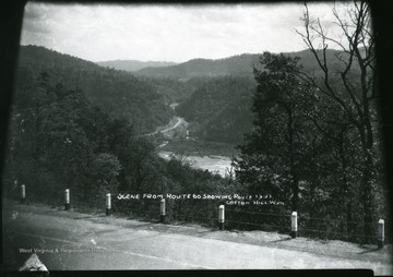
- IDNO:
- 012268
- Title:
- Scene from Route 60 Showing Cotton Hill, Fayette County, W. Va.
- Description:
- Scenes from Route 60 showing Route 19-21, Cotton Hill.
- IDNO:
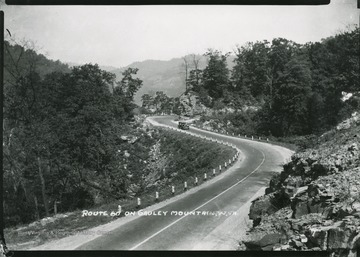
- 012267
- Title:
- Route 60 on Gauley Mountain, Fayette County, W. Va.
- Description:
- View of a car driving down Route 60 on Gauley Mountain.

- IDNO:
- 012582
- Title:
- Traffic and Parked Cars on Route 60 in Montgomery, Fayette County, W. Va.
- IDNO:
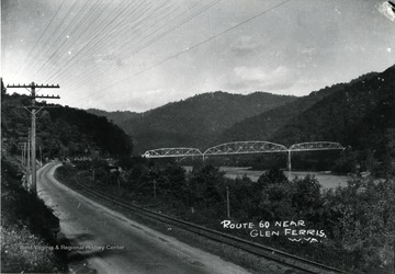
- 012271
- Title:
- Route 60 and Bridge at Glen Ferris, Fayette County, W. Va.
- IDNO:
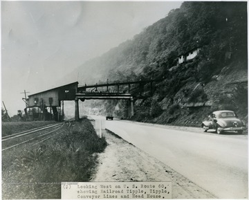
- 035655
- Title:
- Looking West on U.S. Route 60 Showing Railroad Tipple, Tipple, Conveyor Lines and Head House, Island Creek Coal Company

- IDNO:
- 035654
- Title:
- Looking East on U.S. Route 60 Showing Tipple and Loading Booms, Island Creek Coal Company


