Search Results
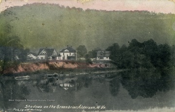
- IDNO:
- 042265
- Title:
- Shadows on the Greenbrier; Alderson, W. Va.
- Date:
- ca. 1914
- Description:
- View of the Greenbrier from the river. See original for correspondence. Published by J.W. McClung. (From postcard collection legacy system.)
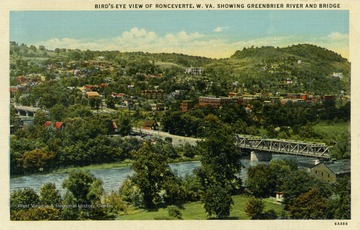
- IDNO:
- 042266
- Title:
- Bird's Eye View Showing Greenbrier River and Bridge; Ronceverte, W. Va.
- Description:
- Published by P.A. George & Company. (From postcard collection legacy system.)
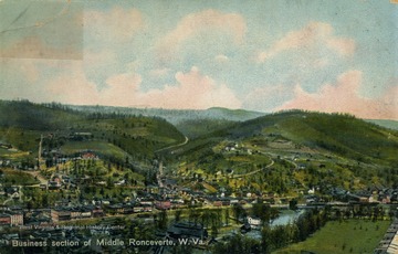
- IDNO:
- 042267
- Title:
- Business Section of Middle Ronceverte, W. Va.
- Description:
- Published by The Hugh C. Leighton Company. (From postcard collection legacy system.)
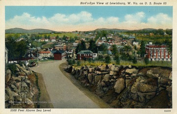
- IDNO:
- 042268
- Title:
- Bird's Eye View From U.S. Route 60 of Lewisburg, W. Va.
- Description:
- (From postcard collection legacy system.)
- IDNO:
- 042269
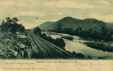
- Title:
- Greenbrier River; near Ronceverte, W. Va.
- Date:
- ca. 1906
- Description:
- Train tracks run along the side of the Greenbrier River. See original for correspondence. Published by Moore & Gibson Co. (From postcard collection legacy system.)
- IDNO:
- 042270
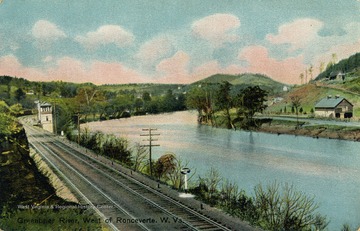
- Title:
- Greenbrier River; West of Ronceverte, W. Va.
- Description:
- Published by The Hugh C. Leighton Company. (From postcard collection legacy system.)
- IDNO:
- 042271
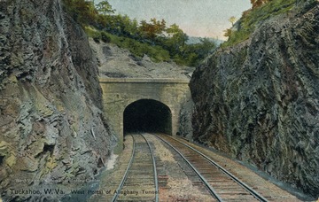
- Title:
- West Portal of Alleghany Tunnel; Tuckahoe, W. Va.
- Date:
- ca. 1909
- Description:
- Train tracks running through rocky mountain sides into a tunnel. Published by the Hugh C. Leighton Company. See original for correspondence. (From postcard collection legacy system.)
- IDNO:
- 042272
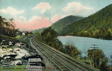
- Title:
- Greenbrier River Near Ronceverte, W. Va.
- Description:
- Published by The Hugh C. Leighton Company. (From postcard collection legacy system.)
- IDNO:
- 042273
- Title:
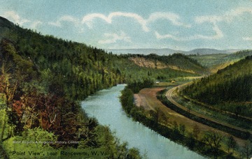
- Point View, near Ronceverte, W. Va.
- Date:
- ca. 1910
- Description:
- Published by The Hugh C. Leighton Company. See original for correspondence. (From postcard collection legacy system.)
- IDNO:
- 042274
- Title:
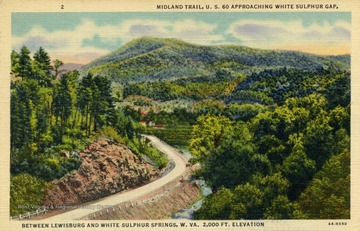
- Midland Trail, U.S. 60 Approaching White Sulphur Gap; Between Lewisburg and White Sulphur Springs, W. Va.
- Description:
- 2,000 feet elevation. See original for postcard's information about the Midland Trail. (From postcard collection legacy system.)
- IDNO:
- 042275
- Title:
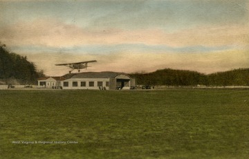
- Greenbrier Airport; White Sulphur Springs, W. Va.
- Description:
- Published by P. A. George & Company. (From postcard collection legacy system.)
- IDNO:
- 042276
- Title:
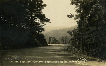
- On Beautiful Midland Trail; Near Rainelle, W. Va.
- Description:
- Published by Premier Studios. See original for correspondence. (From postcard collection legacy system.)


