Search Results

- IDNO:
- 031313
- Title:
- Pontiac's War Marker, Greenbrier County, W. Va.
- Date:
- 1952
- Description:
- Pontiac's War: Massacre of the Clendenins by Shawnee Indians under Cornstalk. 1763, three miles southwest of Lewisburg after Muddy Creek massacre, completed the destruction of early settlements in the Greenbrier Valley.
- IDNO:
- 031314
- Title:
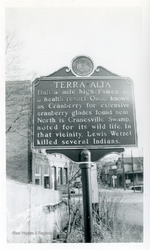
- Terra Alta Marker, Preston County, W. Va.
- Date:
- 1952
- Description:
- Terra Alta: Half a mile high Famed as a health resort resort. Once known as Cranberry for extensive cranberry glades found near. North is Cranesville Swamp, noted for its wild life. In that vicinity, Lewis Wetzel killed several Indians.
- IDNO:
- 031315
- Title:
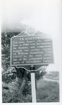
- Frankford Marker, Greenbrier County, W. Va.
- Date:
- 1952
- Description:
- Frankford: Col. John Stuart, who came here in 1769 with McClanahan, the Renicks, and companions bought out earlier claims of William Hamilton. "The Cliffs" to the east offer one of the celebrated beauty spots of Greenbrier Valley.
- IDNO:
- 031316
- Title:
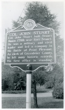
- Col. John Stuart Marker, Greenbrier County, W. Va.
- Date:
- 1952
- Description:
- Col. John Stuart: Col John Stuart built Stuart Manor, 1789, near Fort Stuart. He was a military and civil leader and led a company in the Battle of Point Pleasant. As clerk of Greenbrier County, he left many historic records. His first office is standing.
- IDNO:
- 031317
- Title:
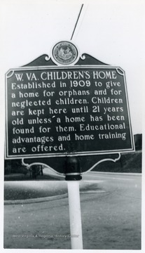
- W. Va. Children's Home Marker on U. S. Route 219 between Elkins and Montrose, W. Va.
- Date:
- 1951
- Description:
- W. Va. Children's Home: Established in 1909 to give a home for orphans and for neglected children. Children are kept here until 21 years old unless a home has been found for them. Educational advantages and home training are offered.
- IDNO:
- 031318
- Title:
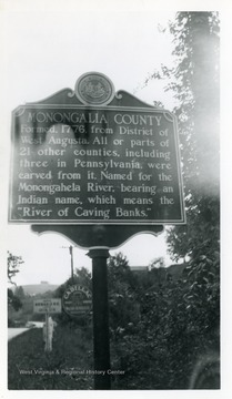
- Monongalia County Marker on U. S. Route 19 at the West Virginia and Pennsylvania State Line
- Date:
- 1951
- Description:
- Monongalia County: Found 1776 from District of West Augusta. All or parts of 21 other counties, including three in Pennsylvania were carved from it. Named for the Monongahela River bearing an Indian name, which means the "River of Caving Banks."
- IDNO:
- 031319
- Title:
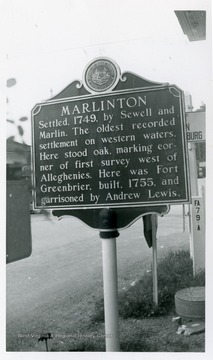
- Marlinton Marker on U. S. Route. 219, Pocahontas County, W. Va.
- Date:
- 1952
- Description:
- Marlinton: Settled 1749 by Sewell and Marlin. The oldest recorded settlement on western waters. Here stood oak, marking corner of first survey west of Alleghenies. Here was Fort Greenbrier, built, 1755, and garrisoned by Andrew Lewis.
- IDNO:
- 031320
- Title:
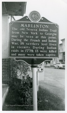
- Marlinton Marker, Pocahontas County, W. Va.
- Date:
- 1952
- Description:
- Marlinton: The old Seneca Indian Trail from New York, to Georgia may be seen at this point. During the French and Indian War, 18 settlers lost lives in vicinity. During Indian raids in 1779, 13 were killed and many were taken captive.
- IDNO:
- 031321
- Title:
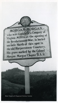
- Morgan Morgan Marker on State Rt. 73, Between Morgantown and Fairmont, W. Va.
- Date:
- 1951
- Description:
- Morgan Morgan: who was Captain of a Company of Virginia Militia at the opening of the Revolutionary War, is buried one mile North of this spot in the old Harperstown Cemetery. His grave marked by the colonel Morgan Morgan Chapter D. A. R.
- IDNO:
- 031322
- Title:
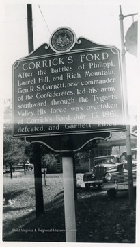
- Corrick's Ford Marker, Parsons, W. Va.
- Date:
- 1951
- Description:
- Corrick's Ford: After the battles of Philippi, Laurel Hill and Rich Mountain. Gen. R. S. Garnett, new commander of the Confederates, led his army southward through the Tygarts Valley. His force was overtaken at Corrick's Ford, July 13, 1861 defeated and Garnett killed.
- IDNO:
- 031323
- Title:
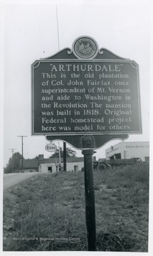
- Arthurdale, Marker on State Route 92, Preston County, W. Va.
- Description:
- Arthurdale: This is the old plantation of Col. John Fairfax, once superintendent of Mt. Vernon and aide to Washington in the Revolution. The mansion was built in 1818. Original Federal homestead project here was model for others.
- IDNO:
- 031324
- Title:
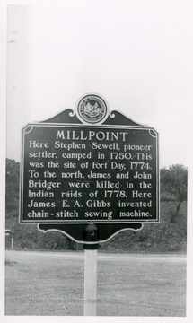
- Millpoint Marker on U. S. Route 219, Pocahontas County, W. Va.
- Date:
- 1952
- Description:
- Millpoint: Here Stephen Sewell, pioneer settler, camped in 1750. This was the site of Fort Day, 1774. To the north, James and John Bridger were killed in the Indian raids of 1778. Here James E. A. Gibbs invented chain-stitch sewing machine.


