Search Results
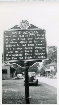
- IDNO:
- 031379
- Title:
- David Morgan Marker near Rivesville on U. S. Route in Marion County, W. Va.
- Date:
- 1951
- Description:
- 'Near this spot in 1779, David Morgan killed two Indians of whose attack on his two children he had been warned in a strange dream. Morgan lived on a farm on the Monongahela River between Paw Paw and Prickett creeks.'
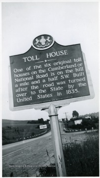
- IDNO:
- 031381
- Title:
- Toll House Marker Between Wheeling, W. Va. and Washington, Pa. on U. S. Route 40
- Date:
- 1951
- Description:
- 'One of the six original toll houses on the Cumberland or National Road is on the hill a mile and a half SW. Built after the road was turned over to the State by the United States in 1835.'
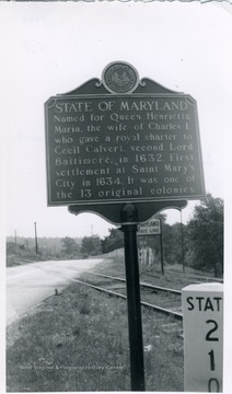
- IDNO:
- 031383
- Title:
- State of Maryland Historic Marker
- Date:
- 1951
- Description:
- 'Named for Queen Henrietta Maria, the wife of Charles I, who gave a royal charter to Cecil Calvert, second Lord Baltimore, in 1632. First settlement at Saint Mary's City in 1634. It was one of the 13 original colonies.' The marker is between Terra Alta W.Va. and Oakland, Md.
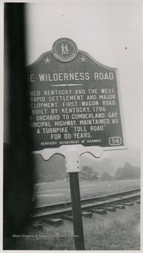
- IDNO:
- 031384
- Title:
- Wilderness Road Marker Between Wheeling, W. Va, and Washington, Pa.
- Date:
- 1951

- IDNO:
- 031385
- Title:
- Zachary Taylor Marker Between Wheeling and New Martinsville, W. Va. on Route 2
- Date:
- 1951
- Description:
- 'General Zachary Taylor, on his way to Washington to be inaugurated the twelfth President of the United States, found his steamer blocked by ice here. He left his boat and completed his trip over the National Pike.'
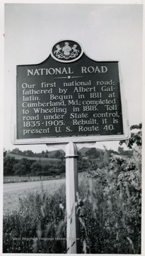
- IDNO:
- 031389
- Title:
- National Road Marker Between Wheeling, W. Va. and Washington, Pa
- Date:
- 1951
- Description:
- 'Our first national road; fathered by Albert Gallatin. Begun in 1811 at Cumberland, Md.; completed to Wheeling in 1818. Toll road under State control, 1835-1905. Rebuilt, it is present U.S. Route 40.'
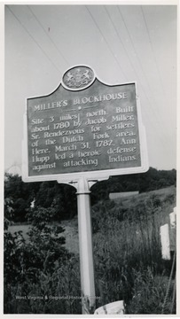
- IDNO:
- 031392
- Title:
- Miller's Blockhouse Marker Between Wheeling, W .Va. and Washington, Pa. on U. S. Route 40
- Date:
- 1951
- Description:
- 'Site 3 miles north. Built about 1780 by Jacob Miller, Sr. Rendezvous for settlers of the Dutch Fork area. Here, March 31, 1782, Ann Hupp led a heroic defense against attacking Indians.'
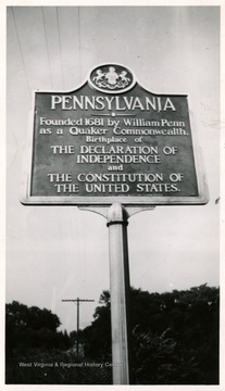
- IDNO:
- 031417
- Title:
- Pennsylvania Historic Marker on U. S. Route 40
- Date:
- 1951
- Description:
- A Pennsylvania highway marker stands between Wheeling, W. Va. and Washington, PA on the US Route 40. The marker reads: Pennsylvania--founded 1681 by William Penn ans a Quaker Commonwealth, Birthplace of the Declaration of Independence and the Constitution of the United States.
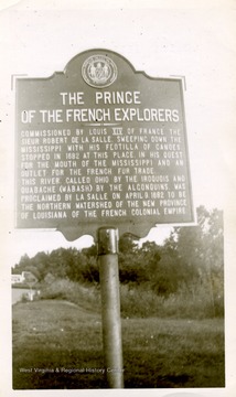
- IDNO:
- 031419
- Title:
- Prince of the French Explorers Historic Marker
- Date:
- 1950
- Description:
- Cairo Illinois or Mound City, Illinois or Kentucky. The marker reads: The Prince of the French Explorers--Commissioned by Louis XIV of France the Sieur Robert De La Salle, sweeping down the Mississippi with his Flotilla of canoes stopped in 1882 at this place. In his quest for the mouth of the Mississippi and an outlet for the French fur trade. This river called Ohio by the Iroquois and Quabache (Wabash) by the Algonquins was proclaimed by La Salle on April 9, 1882 to be the Northern watershed of the New Province of Louisiana of the French Colonial Empire.
- IDNO:
- 031420
- Title:
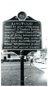
- Kingwood, W. Va. Historic Marker
- Date:
- 1951
- Description:
- The historic marker reads: Kingwood--Named for grove of big trees. Southeast is Dunkard Bottom settled by Thomas Eckarly 1754. Near by during Indian raids in 1778 and 1788. Many settlers were killed Martin Wetzel and William Morgan, noted frontier scouts, had narrow escapes.
- IDNO:
- 031422
- Title:
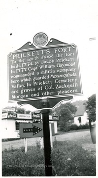
- Prickett's Fort Historic Marker, W. Va.
- Date:
- 1951
- Description:
- Prickett's Fort historic marker stands on State Route 73 between Morgantown and Fairmont, W. Va. The marker reads: Prickett's Fort--To be north stood the fort built 1774 by Jacob Prickett. In 1777 Capt. William Haymond commanded a militia company here which guarded Monongahela Valley. In Prickett Cemetery are graves of Col. Zackquill Morgan and other pioneers.
- IDNO:
- 031423
- Title:
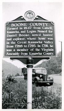
- Boone County Marker on US Route 119, W. Va.
- Date:
- 1951
- Description:
- Boone County Marker stands on the US Route 119. The marker reads: Boone County--Formed in 1847 from Cabell, Kanawha and Logan. Named for Daniel Boone noted hunter and explorer whose home was in the Great Kanawha Valley from 1788 to 1795. In 1791 he was a member of the Virginia Assembly from Kanawha county.


