Search Results
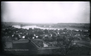
- IDNO:
- 032007
- Title:
- Ohio River and Island From Harmer Hill
- Date:
- 1883/05/17
- Description:
- The photo was taken on Thursday at 3 p.m., sunny and hazy; 1365.Lot.56.
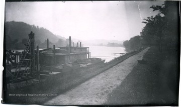
- IDNO:
- 032008
- Title:
- View Up Muskingum From Park
- Date:
- 1883/05/18
- Description:
- The photo was taken on Friday, hazy; 1367.Lot.56.
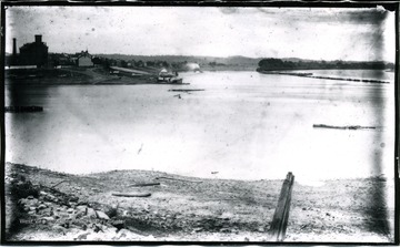
- IDNO:
- 032009
- Title:
- View up the Ohio River from Harmer Point
- Description:
- 1203.
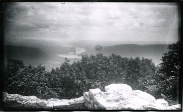
- IDNO:
- 032010
- Title:
- View of Lower Marietta from Harmer Hill, Ohio
- Date:
- 1883/05/18
- Description:
- The photo was taken at 4:30 p.m.; 1366.Lot.56.
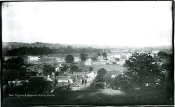
- IDNO:
- 032011
- Title:
- Harmer and Marietta From Lower Point of Harmer Hill, Ohio
- Date:
- 1883/05/24
- Description:
- The photo was taken at 5:30 p.m.; 1373.Lot.55.

- IDNO:
- 032012
- Title:
- View of Harmer Hill and River From Park
- Date:
- 1883/05/17
- Description:
- The photo taken at 1:30 p.m.; 1363.Lot.56.
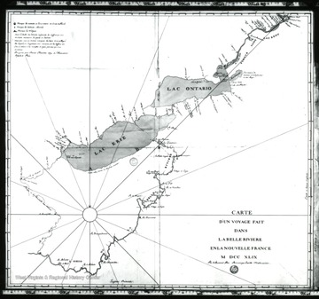
- IDNO:
- 032013
- Title:
- Map of Ohio 1749
- Date:
- undated
- Description:
- 'Father Bonnecamp's 1749 map of the Ohio made during an expedition with de Blainville to bury leader Plates to claim the Ohio Valley for the King of France.'
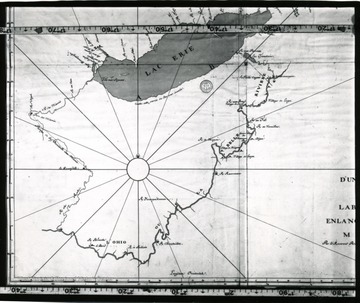
- IDNO:
- 032014
- Title:
- Map of Ohio 1749
- Description:
- 'Father Bonnecamp's 1749 map of the Ohio made during an expedition with de Blainville to bury leader Plates to claim the Ohio Valley for the King of France.'

- IDNO:
- 032346
- Title:
- George W. Minch General Store, Bridgeport, Ohio
- Date:
- 1908/04/28
- Description:
- Men, a boy and horses stand around the porch of Geo. W. Minch store.

- IDNO:
- 033745
- Title:
- People Gathered in the Street in Bellaire, OH.
- Date:
- 1907
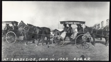
- IDNO:
- 033746
- Title:
- Riding in Surrey With Fringe on Top, Shadyside, OH.
- Date:
- 1907
- Description:
- Several unidentified folks sit in a line of "surreys" or two seated horse-drawn buggies.

- IDNO:
- 033747
- Title:
- Ohio River Frozen Over in Bellaire, OH.
- Date:
- 1910/01/04


