Search Results
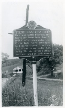
- IDNO:
- 030875
- Title:
- First Land Battle Historic Marker on U. S. Route 250 at Philippi, W. Va.
- Date:
- 1953
- Description:
- "First Land Battle--First land battle between the North and South here, June 3, 1861. Confederates under Col. Porterfield were dislodged by Federal troops from Gen. McClellan's army under Col. Kelley. The old covered bridge here was used by both armies."

- IDNO:
- 030876
- Title:
- Tollgate Historic Marker on U. S. Route 50 in Ritchie County, W. Va.
- Date:
- 1950
- Description:
- "Tollgate--The Northwestern Turnpike, a favorite project of George Washington, opened in 1838. Such highways were called "turnpikes" from the gates at which tolls were collected. This town is named for the toll gate which stood here."
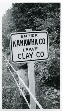
- IDNO:
- 030877
- Title:
- Road Sign on the Border of Clay and Kanawha County, W. Va.
- Date:
- 1951
- Description:
- The sign is on U.S. Route 119.
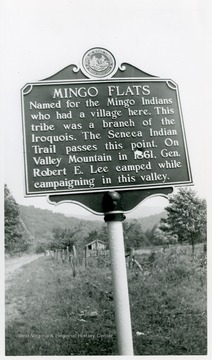
- IDNO:
- 030878
- Title:
- Mingo Flats Historic Marker on U. S. Route 219 at Valley Head, Randolph County, W. Va.
- Date:
- 1952
- Description:
- "Mingo Flats--Named for the Mingo Indians who had a village here. This tribe was a branch of the Iroquois. The Seneca Indian Trail passes this point. On Valley Mountain in 1861. Gen. Robert E. Lee camped while campaigning in this valley."
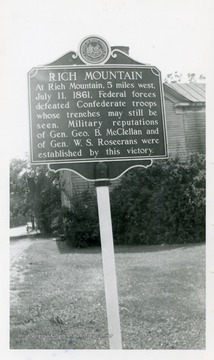
- IDNO:
- 030879
- Title:
- Rich Mountain Historic Marker at Beverly, Randolph County, W. Va.
- Date:
- 1952
- Description:
- "Rich Mountain--At Rich Mountain 5 miles west, July 11, 1861. Federal forces defeated Confederate troops whose trenches may still be seen. Military reputations of Gen. Geo. B. McClellan and of Gen. W. S. Rosecrans were established by this victory."

- IDNO:
- 030880
- Title:
- Huntersville Historic Marker on Knapp Creek, Pocahontas County, W. Va.
- Date:
- 1952
- Description:
- "Huntersville--Established in 1821. Early trading post here brought hunters and trappers and gave name to the town. In 1822, first county court met here at the home of John Bradshaw. Gen. Lee was encamped here in 1861.

- IDNO:
- 030881
- Title:
- Randolph County Historic Marker between Parsons and Montrose, W. Va.
- Date:
- 1955
- Description:
- "Randolph County--Formed from Harrison in 1787. Named for Edmund Jennings Randolph. Virginia statesman and soldier. Largest county in the State. Federal dominance of the Tygarts Valley in War between the States largely determined control of W. Va."

- IDNO:
- 030992
- Title:
- Tucker County Marker Between Oakland, M.D. and Thomas, W. Va. on U.S. Route 219
- Date:
- 1955

- IDNO:
- 030993
- Title:
- Richard Tennant Children Historical Marker in a Cemetery
- Date:
- 1951

- IDNO:
- 030994
- Title:
- Laurel Hill Historical Marker at Parsons, W. Va.
- Date:
- 1951

- IDNO:
- 030995
- Title:
- Statler's Fort Historical Marker on State Route 7 near Blacksville, W. Va.
- Date:
- 1951
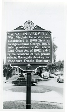
- IDNO:
- 030996
- Title:
- West Virginia University Historical Marker on University Avenue, Morgantown, W. Va.
- Date:
- 1951
- Description:
- Located on Grumbein Island near Commencement Hall in 1951.


