Search Results
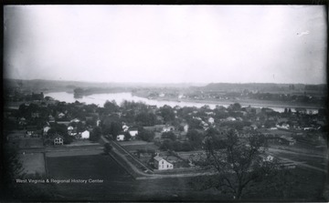
- IDNO:
- 032007
- Title:
- Ohio River and Island From Harmer Hill
- Date:
- 1883/05/17
- Description:
- The photo was taken on Thursday at 3 p.m., sunny and hazy; 1365.Lot.56.
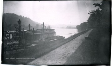
- IDNO:
- 032008
- Title:
- View Up Muskingum From Park
- Date:
- 1883/05/18
- Description:
- The photo was taken on Friday, hazy; 1367.Lot.56.
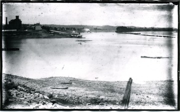
- IDNO:
- 032009
- Title:
- View up the Ohio River from Harmer Point
- Description:
- 1203.
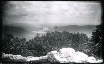
- IDNO:
- 032010
- Title:
- View of Lower Marietta from Harmer Hill, Ohio
- Date:
- 1883/05/18
- Description:
- The photo was taken at 4:30 p.m.; 1366.Lot.56.
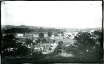
- IDNO:
- 032011
- Title:
- Harmer and Marietta From Lower Point of Harmer Hill, Ohio
- Date:
- 1883/05/24
- Description:
- The photo was taken at 5:30 p.m.; 1373.Lot.55.

- IDNO:
- 032012
- Title:
- View of Harmer Hill and River From Park
- Date:
- 1883/05/17
- Description:
- The photo taken at 1:30 p.m.; 1363.Lot.56.
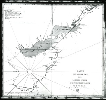
- IDNO:
- 032013
- Title:
- Map of Ohio 1749
- Date:
- undated
- Description:
- 'Father Bonnecamp's 1749 map of the Ohio made during an expedition with de Blainville to bury leader Plates to claim the Ohio Valley for the King of France.'
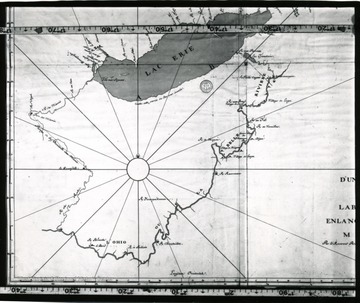
- IDNO:
- 032014
- Title:
- Map of Ohio 1749
- Description:
- 'Father Bonnecamp's 1749 map of the Ohio made during an expedition with de Blainville to bury leader Plates to claim the Ohio Valley for the King of France.'
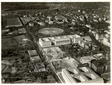
- IDNO:
- 032015
- Title:
- Aerial View of Washington, D. C.
- IDNO:
- 032016
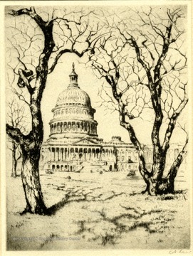
- Title:
- Capital Washington, D. C.
- Description:
- A print of the Capital in Washington, D. C.
- IDNO:
- 032017
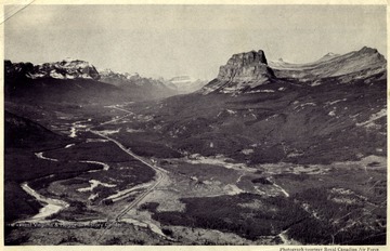
- Title:
- Bow Valley and Sprout Lake, Canada
- Description:
- "Looking West down Bow Valley, with Mount Temple on the left and Castle Mountain on the right, the Canadian Pacific Railway can be seen threading its way through the valley to the Pacific.'

- IDNO:
- 032018
- Title:
- Mules Pulling a Boat On the C. & O. Canal, Hancock, Md.
- Date:
- 1907
- Description:
- 'This Canal goes from Cumberland, Md. to Hancock, Md. and taken by John Jacob on his wedding trip.'


