Search Results
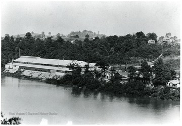
- IDNO:
- 016837
- Title:
- Star City Glass Factory, Morgantown, W. Va.
- Date:
- ca. 1949

- IDNO:
- 016838
- Title:
- Trout Pond Warming Shed and Dock Under Construction at Coopers Rock State Park, Monongalia County, W. Va.
- Date:
- 1961
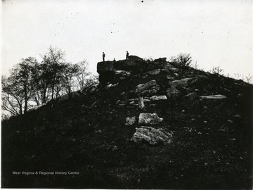
- IDNO:
- 016839
- Title:
- Dorsey's Knob, Monongalia County, W. Va.
- Date:
- 1931/07/22
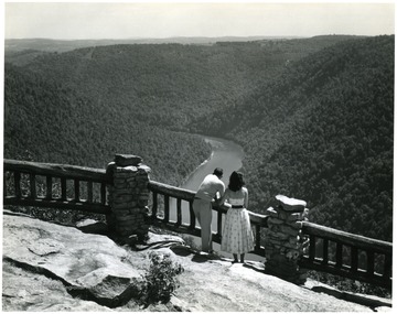
- IDNO:
- 016840
- Title:
- Young Couple Enjoying the View from the Overlook at Cooper's Rock State Park, Monongalia County, W. Va.
- Date:
- ca. 1950
- Description:
- Photo by Conservation Commission of West Virginia.
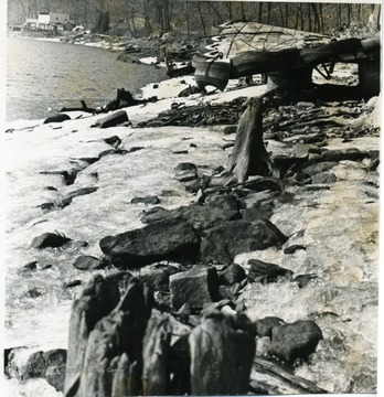
- IDNO:
- 016841
- Title:
- Debris on the Shore of Cheat Lake at Low Water, Monongalia County, W. Va.
- Date:
- ca. 1966

- IDNO:
- 016842
- Title:
- Monongahela River Flood at Jimtown, Monongalia County, W. Va.
- Date:
- 1936
- Description:
- Two cars are trapped in the flood waters while a crowd looks on from a railroad bridge.

- IDNO:
- 016843
- Title:
- Tattered U. S. Flag, Monongalia County, W. Va.
- Date:
- ca. 1900- 1910
- IDNO:
- 016844
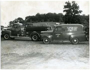
- Title:
- Firetrucks of Clinton District Volunteer Fire Department, Monongalia County, W. Va.
- Date:
- ca. 1950
- IDNO:
- 016845
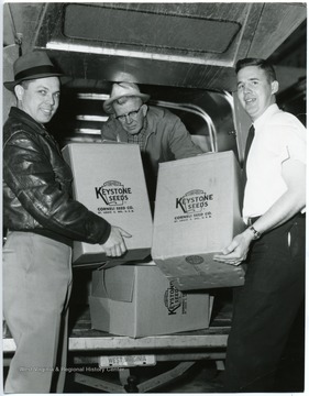
- Title:
- Loading Keystone Seeds into a Truck at Cornelli Seed Company, Monongalia County, W. Va.
- Date:
- ca. 1960-1970
- IDNO:
- 016846
- Title:
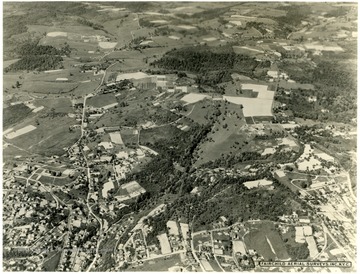
- Aerial View of Morgantown, W. Va.
- Date:
- ca. 1931/11
- Description:
- Facing Northeast. At the bottom left if Stewart Street and the brighter street is Falling Run. It runs vertical into Stewartstown Road. Near the top is the WVU Animal Husbandry Farm. About three inches in from the right top is the Mileground. The large fields to the left are part of the WVU farms. To their left is the WVU Horticulture Farm orchards. About and inch and a half from the bottom right is the intersections of Willey Street, Snider Street, and Monongalia Avenue at Town Hill.

- IDNO:
- 016847
- Title:
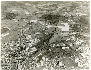
- Aerial View of Morgantown, W. Va.
- Date:
- ca. 1921/11
- IDNO:
- 016848
- Title:
- Aerial View of Morgantown, W. Va.
- Date:
- ca. 1931/11
- Description:
- Facing Northeast. At the bottom left if Stewart Street and the brighter street is Falling Run. It runs vertical into Stewartstown Road. Near the top is the WVU Animal Husbandry Farm. About three inches in from the right top is the Mileground. The large fields to the left are part of the WVU farms. To their left is the WVU Horticulture Farm orchards. About and inch and a half from the bottom right is the intersections of Willey Street, Snider Street, and Monongalia Avenue at Town Hill.


