Search Results

- IDNO:
- 011209
- Title:
- Aerial View of Morgantown, W. Va.
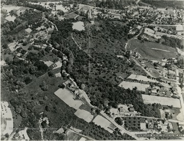
- IDNO:
- 011210
- Title:
- Aerial View of a Portion of Morgantown, W. Va.
- Date:
- 1931/11
- Description:
- The street going diagonally from the lower right to the upper left is College Avenue. The intersection that is about two inches in from the right and down about an inch and a half from the top is Willey Street, Snider Street, and Monongalia Avenue at Town Hill.

- IDNO:
- 011211
- Title:
- Aerial View of Crump Housing Development on Collins Ferry Road, Morgantown, W. Va.
- Date:
- 1952
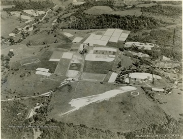
- IDNO:
- 011212
- Title:
- Aerial View of Land Near Morgantown, W. Va.

- IDNO:
- 011213
- Title:
- Moore Family Home, Glady Fork, Mannington District, Marion County, W. Va.
- Date:
- ca. 1922
- Description:
- 'L to R: Alice Jane Moore (1890-1955), Charles Richard Moore (1902-1937), Arsula Katherine (Cole) Lawlis (1844-1936), Nancy Cordelia (Lawlis) Moore (1867-1938), Richard Galusha Moore (1864-1928), Theodore M. Moore (1906-1944). This photograph was taken at the end of the era of farming with horses. The horses are prominent in the family group as they were in the farm livelihood.'
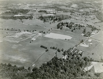
- IDNO:
- 011214
- Title:
- Aerial View of Farmland Near Morgantown, W. Va.
- Description:
- Possibly West Virginia University poultry farm.

- IDNO:
- 011215
- Title:
- Aerial View of Monongahela River and a Small Portion of Morgantown, W. Va.
- Date:
- 1965
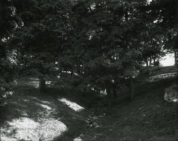
- IDNO:
- 011216
- Title:
- South Park Grove, Morgantown, W. Va.
- Description:
- South Park grove, ravine behind Frazer house.

- IDNO:
- 011217
- Title:
- South Park Grove, Morgantown, W. Va.
- IDNO:
- 011218
- Title:
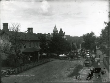
- Wool Market, Morgantown, W. Va.
- Date:
- ca. 1900
- Description:
- An early wool market in downtown Morgantown. Horses and buggies on the road in the center.
- IDNO:
- 011219
- Title:
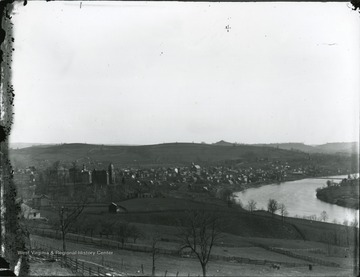
- West Virginia University Campus and Morgantown, W. Va.
- Date:
- ca. 1895
- Description:
- River, town, and campus from Jones Avenue.
- IDNO:
- 011220
- Title:
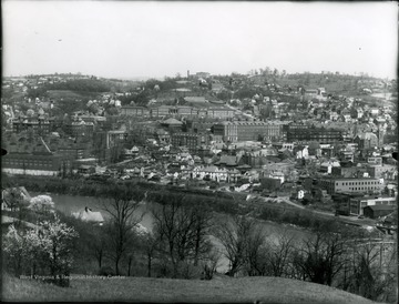
- Bird's Eye View of West Virginia University and Morgantown, W. Va.
- Date:
- ca. 1938
- Description:
- A view of Morgantown from Westover. WVU campus on the left and the Monongahela River running along the bottom. The River bridge is visible in the lower right hand corner and White Hall was under construction(middle of photograph).


