Search Results
- IDNO:
- 040757
- Title:
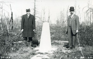
- Samuel Gannett and Julius Monroe With Boundary Marker Number 21 on West Virginia and Maryland State Line
- Date:
- 1911/10/29
- Description:
- Located on the north-south meridian called the Deakins Line near Cranesville, W. Va., the describe position of the marker in a report states, "...stands diagonally as the line turns to the east." Gannett and Monroe were commissioned to survery and map the boundary as well as set markers according to a 1910 decision by the United States Supreme Court which settled the boundary dispute.
- IDNO:
- 040758
- Title:
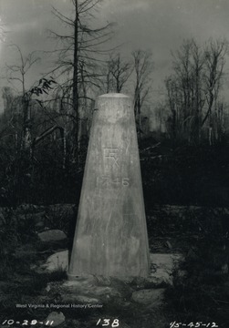
- Marker Number 18 on State Boundary Line of West Virginia and Maryland Near Cranesville, W. Va.
- Date:
- 1911/10/20
- Description:
- Monument set by a team of workers under guidance of surveyors, Samuel Gannett and Julius Monroe, on the original Deakins Line, as order by the United States Supreme Court in 1910
- IDNO:
- 040759
- Title:
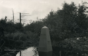
- Marker Number 20 on West Virginia and Maryland State Boundary Line
- Date:
- 1911/09/15
- Description:
- Place by surveying team, appointed by the U.S. Supreme Court to permanently mark the Deakins Line as the official North-South border of W. Va. and Md.
- IDNO:
- 040760
- Title:
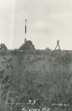
- Survey Equipment on W. Va. and Md. State Line During Setting of Markers
- Date:
- 1911/07/19
- Description:
- Friends Hill, Garrett County, Maryland.
- IDNO:
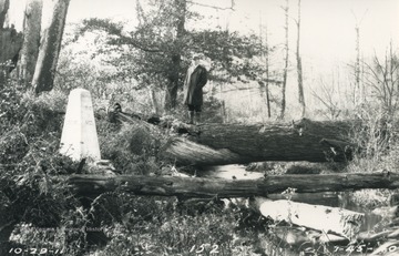
- 040761
- Title:
- Samuel Gannett Standing Atop Log, North-South Boundary of West Virginia and Maryland
- Date:
- 1911/10/29
- Description:
- Commissioned along with Julius Monroe to survey and set markers on Deakins Line.
- IDNO:
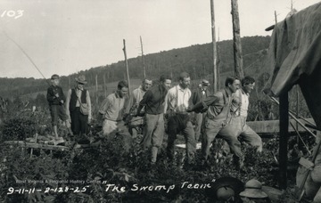
- 040762
- Title:
- Swamp Team on West Virginia and Maryland Line
- Date:
- 1911/09/11
- Description:
- Working on permanent monuments to set on state line for West Virginia and Maryland, as decided by U.S. Supreme Court.
- IDNO:
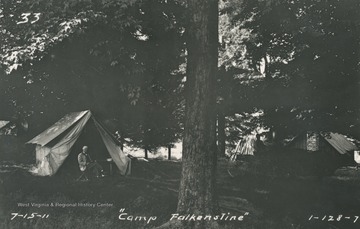
- 040763
- Title:
- Camp Falkenstine On West Virginia and Maryland Line
- Date:
- 1911/07/15
- Description:
- Unidentified man sits in front of a tent. This is possibly Samuel Gannett, commissioned to survey and set markers on the boundary line.
- IDNO:
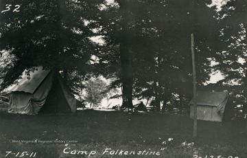
- 040764
- Title:
- Camp Falkenstine on West Virginia and Maryland Line
- Date:
- 1911/07/15
- Description:
- Camp of survey team assigned to place markers on the state boundary line.
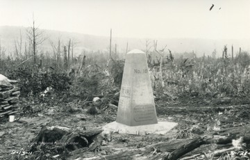
- IDNO:
- 040765
- Title:
- Marker Number 19 on W. Va. and Md. State Boundary Line
- Date:
- 1911/09/13
- Description:
- Located on land owned by Hiram Ringer, the inclination or slope of the tape was measured by the verticle circle on the transit, and the horizontal distance and difference in elevation carefully computed.
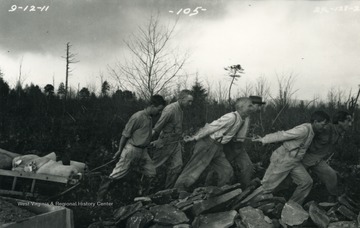
- IDNO:
- 040766
- Title:
- Swamp Team Working on Marking W. Va. and Md. Line
- Date:
- 1911/09/12
- Description:
- Working on permanent monuments to set on state line for West Virginia and Maryland, as decided by U.S. Supreme Court.

- IDNO:
- 040767
- Title:
- William Brown and Samuel Garnett at Site of New Marker on W. Va. and Md. Line
- Date:
- 1911
- Description:
- Far left: Samuel Garnett (U.S. geological surveyor), Second from left: William McColloh Brown (Maryland commissioner). Worker sits atop mold for a new marker.
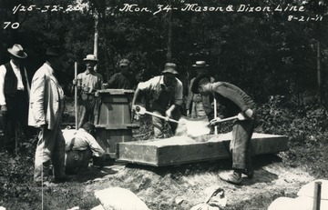
- IDNO:
- 040768
- Title:
- Crew Mixing Together Concrete For New Marker at T-Intersection with Mason Dixon Line
- Date:
- 1911/08/21
- Description:
- Tri-state corner of Pennsylvania, West Virginia, and Maryland at meeting of Mason-Dixon line (East and West) and Deakins Line (North and South). This is Marker #34, the last monument and the northern-most point on the Deakins line. Far left side: Samuel Garnett (U.S. geological surveyer).


