Search Results
- IDNO:
- 031621
- Title:
- Cedar Creek Woods held by 6th Corp. according to Rebel gunner of Braxton's battery
- Date:
- 1884/07/30
- Description:
- 100 W 39 B on back of photo.
- IDNO:
- 031622
- Title:
- Antietam Falls
- Date:
- 1884/08/05
- Description:
- 150.W.(64) on back of photo.
- IDNO:
- 031623
- Title:
- Valley beyond Hancock looking back toward Hancock.
- Description:
- 187 W 78 .B on back of photo.
- IDNO:
- 031624
- Title:
- New Pike Viewed from Old a Few Miles West of Cumberland.
- Date:
- 1884/08/12
- Description:
- 201. D.(117) on back of photo.
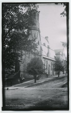
- IDNO:
- 031625
- Title:
- Presbyterian Church in Hagerstown
- Date:
- 1884/08/07
- Description:
- 174 D 103 on back of photo.
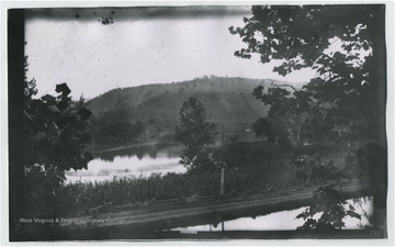
- IDNO:
- 031626
- Title:
- View of the Potamac River and Cumberland Canal
- Description:
- 184 W 77.B. on back of photo.
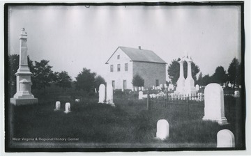
- IDNO:
- 031629
- Title:
- Stone Church and Cemetery Eight miles West of Hagerstown, MD
- Date:
- 1884/08/08
- Description:
- 176 104.D on back of photo.
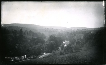
- IDNO:
- 031689
- Title:
- View of Antietam, Burnsides Stone Bridge, Maryland
- Date:
- 1884/08/06
- Description:
- A view of Antietam Burnsides stone bridge from the west side looking South East; the photo was taken Wednesday 9:10 am. 94 D. I. C., 155.

- IDNO:
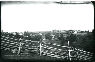
- 031690
- Title:
- View of Sharpsburg, Maryland
- Date:
- 1884/08/05
- Description:
- A view of Sharpsburg, the photo was taken Tuesday, 5:55 p.m. from National Cemetery looking West. 92 D.I.C., 156.
- IDNO:
- 031692
- Title:
- View on Confederate Side Near Burnside Bridge, Maryland
- Date:
- 1884/08/06
- Description:
- A view on Confederate side near Burnside Bridge; the photo taken at 9:20 am. 159 w65.

- IDNO:
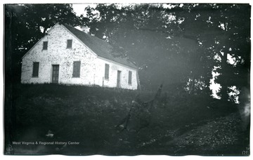
- 031694
- Title:
- View of Antietam, Dunker Church, Maryland
- Date:
- 1884/08/06
- Description:
- A view of Antietam, Dunker Church looking from south east. The photo was taken on Wednesday at 7:30 pm. 100 D.I.C, 171.
- IDNO:
- 031695
- Title:
- Dunker Church,, Maryland
- Date:
- 1884/08/06
- Description:
- A view of Dunker Church; the photo taken on Wednesday at 7:30 pm; 170.W.71.


